What is recorded here
From the National Monuments Service (Archaeological Survey of Ireland) record LH011-003001
Places near here
Photo credits
- Maker not stated on source page, de.wikipedia.org
- Maker not stated on source page, www.adequatetravel.com
- National Inventory of Architectural Heritage
- Maker not stated on source page, www.tripadvisor.com.ph
- Maker not stated on source page, en.wikipedia.org
- Maker not stated on source page, www.scotlandswild.com
- Maker not stated on source page, monumentalireland.ie
- Maker not stated on source page, uk.wikipedia.org
- Maker not stated on source page, ca.pinterest.com
 Standing stone in CastleringStanding stone · 516 yd
Explorer Tom Standing stone in Castlering is the shortcut that isn’t actually a shortcut at all. It just looks like a path, but it…
 Church in CastleringChurch · 659 yd
Explorer Tom Church in Castlering disappeared so completely that even the locals forgot which field to dig in. I swear there’s a…
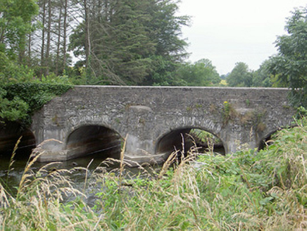 Castlering BridgeBridge · 763 yd
Explorer Tom Castlering Bridge in Chanonrock was used to smuggle contraband cheese, or so the story goes with great conviction. The…
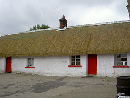 The ThatchHouse · 939 yd
Explorer Tom The Thatch in Chanonrock is hiding a treasure chest that’s definitely just a biscuit tin. The thatching is slowly…
 Graveyard in ChanonrockGraveyard · 987 yd
Explorer Tom Kilmalloo claims St Mollua lives here, but nobody can find the spot, so he’s likely hiding from the paperwork. It holds…
 Standing stone in Ash LittleStanding stone · 1063 yd
Explorer Tom Ash Little’s standing stone stands alone in a field, probably listening to the cows gossip about the farmer. It’s been…
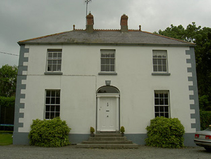 Hollow HouseHouse · 1129 yd
Explorer Tom Hollow House in Castlering is named after a poet who fell into a ditch nearby and wrote about it for three days. It’s a…
 Standing stone in MonavalletStanding stone · 1507 yd
Explorer Tom Standing stone in Monavallet took a nosedive and stayed down until 2016 forced it back up on its feet. It’s flaky shale…
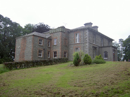 Monavallet HouseHouse · 1604 yd
Explorer Tom Monavallet House in Monavallet is sitting on that hillside like it’s waiting for a prophecy about a golden age of…
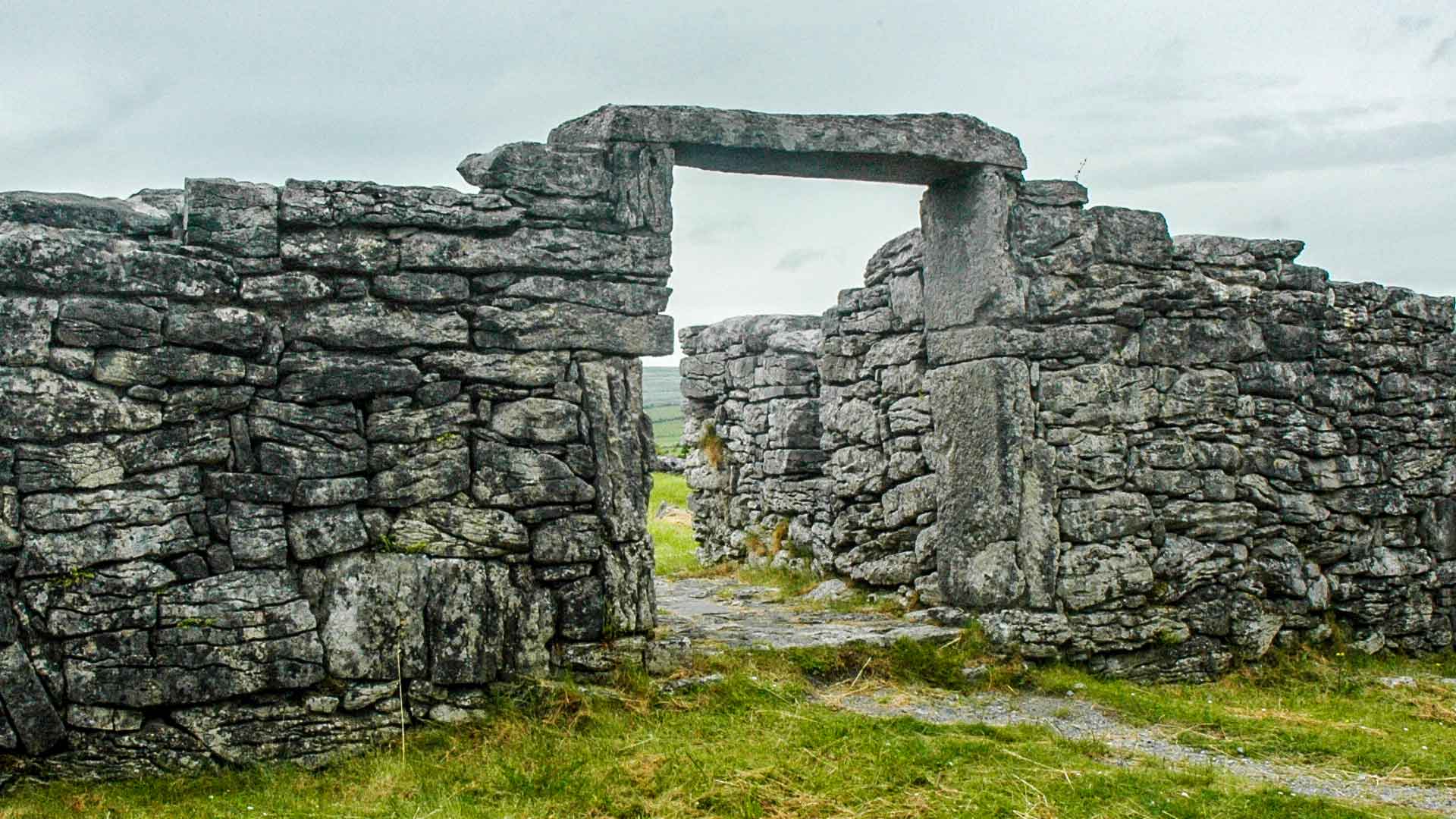 Fairy fort / earthen ringfort in ChanonrockFairy fort / earthen ringfort · 1711 yd
Explorer Tom Fairy fort / earthen ringfort in Chanonrock started when two lads bet a pint over a ditch. It’s got a na on top, which…
 Mapped graveyardGraveyard · 1.6 mi
Explorer Tom Mapped graveyard in County Louth is being picked on by the wind because it has nothing to hide and no secrets left to…
 CastleCastle, unclassified · 2.0 mi
Explorer Tom Richard Taaffe's Holding is run by a dog who thinks he built the whole thing himself. The castle is gone, but the dog…
More archaeology and monuments in County Louth · All of County Louth

What do you know about this place?Tap to add a comment or ask a question