What is recorded here
Situated on top of a low ridge. The stone, now in a recumbent position (max. dims. L 3.1m, 1.7m by 0.9m in section), is composed of a flaky shale and appears to have had one end chamfered to fit into a pit in the ground. It was re-erected in 2016. (CLAJ 1910, 296; 1962, 165)
The above description is derived from both the published 'Archaeological Inventory of County Louth' (Dublin: Stationery Office, 1986) and the 'Archaeological Survey of County Louth' (Dublin: Stationery Office, 1991). In certain instances the entries have been revised and updated in the light of recent research.
Date of revision: 1 December 2016
Probably dates to the Neolithic or Early Bronze Age, given its construction and positioning on a prominent ridge. It may have served as a territorial marker, ceremonial monument, or astronomical alignment feature, though specific folklore or use is not recorded.
The monument record does not grant public access. Check the route and ask the landowner before entering private land.
- What survives
- Recorded monument
Places near here
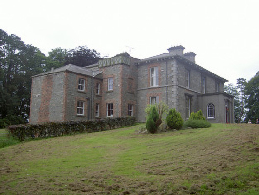 Monavallet Househouse · 115 yd
 Man-made underground passage in CarnalughogeMan-made underground passage · 519 yd
 Enclosure in CarnalughogeEnclosure · 675 yd
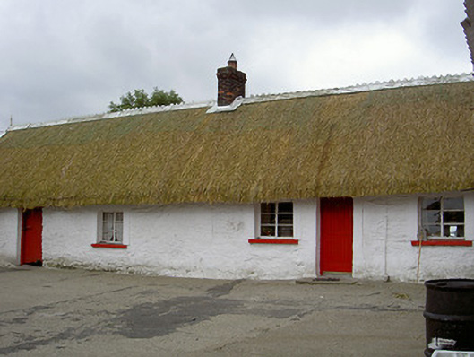 The Thatchhouse · 679 yd
 CastleCastle, motte and bailey · 1.1 mi
 MoatCastle, motte · 1.2 mi
:no_upscale()/cdn.vox-cdn.com/uploads/chorus_asset/file/25593391/County_Louth_6th.jpg) LouthMountain / peak · 1.6 mi
LouthMountain / peak · 1.6 mi Long PlantationForest · 4.3 mi
 Flat cemetery in AnnaheanFlat cemetery · 5.2 mi
 Rabbit BurrowWood · 5.7 mi
 Photo GalleryHeritage attraction · 6.2 mi
 Dundalk CentralHeritage attraction · 6.2 mi