
What is recorded here
National Monument, situated immediately to the NW of Louth Abbey (LH011-115005-).The building consists of a single-celled church or oratory with a chamber or croft in the roof and is constructed of greywacke and limestone blocks or slabs well bonded with mortar (ext. dims. 6.25m by 5.11m; int. dims. 4.88m by 2.82m). It has a barrel vault, constructed of small thin slabs, over the ground floor and above this is the croft which is built in the pitch of the roof. Access to the croft is gained by a steep and narrow stone stairwell in the NE angle. The roof is constructed differently from other early churches, such as St Kevin's in Glendalough or St Columb's in Kells, which are corbelled whereas St Mochta's has a pointed vault. No dressed stone fragments survive from the window or doorway which might help in the dating of this building but the method of construction of the roof points to a period later than that of St Kevin's and St Columb's, perhaps as late as the twelfth century. The building has been extensively restored by the Office of Public Works. (See LH011-115004-). (CLAJ 1937, 32-5; Leask 1977b, vol. 1, 40)
This monument is subject to a preservation order made under the National Monuments Acts 1930 to 2014 (PO no. 5/1932) and is also a National Monument, in state guardianship: No. 312. See the attached views: _1 from W; _2 from SW
The above description is derived from both the published 'Archaeological Inventory of County Louth' (Dublin: Stationery Office, 1986) and the 'Archaeological Survey of County Louth' (Dublin: Stationery Office, 1991).
National Monument, situated immediately to the NW of Louth Abbey (LH011-115005-).The building consists of a single-celled church or oratory with a chamber or croft in the roof and is constructed of greywacke and limestone blocks or slabs well bonded with mortar (ext. dims. 6.25m by 5.11m; int. dims. 4.88m by 2.82m). It has a barrel vault, constructed of small thin slabs, over the ground floor and above this is…
From the National Monuments Service (Archaeological Survey of Ireland) record LH011-115002
The monument record does not grant public access. Check the route and ask the landowner before entering private land.
- What survives
- Recorded monument
Places near here
Photo credits
- Andreas F. Borchert, Wikimedia Commons · CC BY-SA 4.0
- National Inventory of Architectural Heritage
- Christian Pirkl, Wikimedia Commons · CC BY-SA 3.0 at
- Garry Dickinson, Geograph · CC BY-SA 2.0
- Sitomon, Wikimedia Commons · CC BY-SA 2.0
- Kieran Campbell, Geograph · Creative Commons Attribution-ShareAlike 2.0
- John Donnellan, Wikimedia Commons · CC BY-SA 4.0
- Eric Jones, Geograph · CC BY-SA 2.0
- GilPe, Wikimedia Commons · CC BY-SA 4.0
 Louth Abbey in RuinsReligious house, Augustinian canons · 93 yd
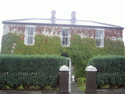 Louth HouseHouse · 224 yd
 Sycamore2.1 mi
 Thomastown CastleCastle, tower house · 2.2 mi
 European Yew2.2 mi
 IndicatedGraveyard · 2.9 mi
 ClochafarmoreArchaeological place · 3.5 mi
 Bawn in DarverBawn · 3.7 mi
 Dundalk CentralHeritage attraction · 6.4 mi
 Maid of ErinMemorial · 6.8 mi
 Louth County MuseumMuseum · 7.0 mi
 Ballsmill Amenity LandPicnic place · 7.9 mi
More historic places in County Louth · All of County Louth
What do you know about this place?