What is recorded here
On a low NW-SE pasture ridge. Although indicated as an oval area on the 1st ed. (1838) of the OS 6-inch map the site is a small, sub rectangular area (int dims. L 19m NW-SE; Wth 13m NE-SW) defined by a low, earthen bank (Wth 3.3m; int. H 0.2m; ext. H 0.6m), and by a shallow outer fosse (Wth 4.3m; D 0.3m). Neither of the two narrow, opposed gaps in the enclosing bank at E and W have corresponding causeways across the fosse and may be modern. Visible on a recent aerial photograph (OSi Orthophoto 2005)
Compiled by: Gearóid Conroy
Date of upload: 10 June 2011
The monument record does not grant public access. Check the route and ask the landowner before entering private land.
- What survives
- Recorded monument
Places near here
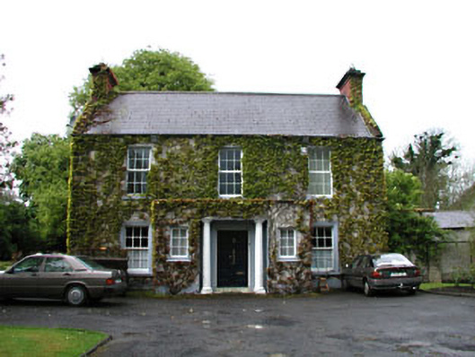 Boycetown Housepresbytery/parochial/curate's house · 598 yd
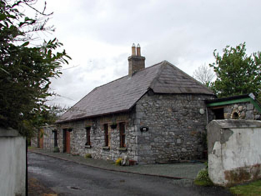 Pitchfordstown Housegate lodge · 627 yd
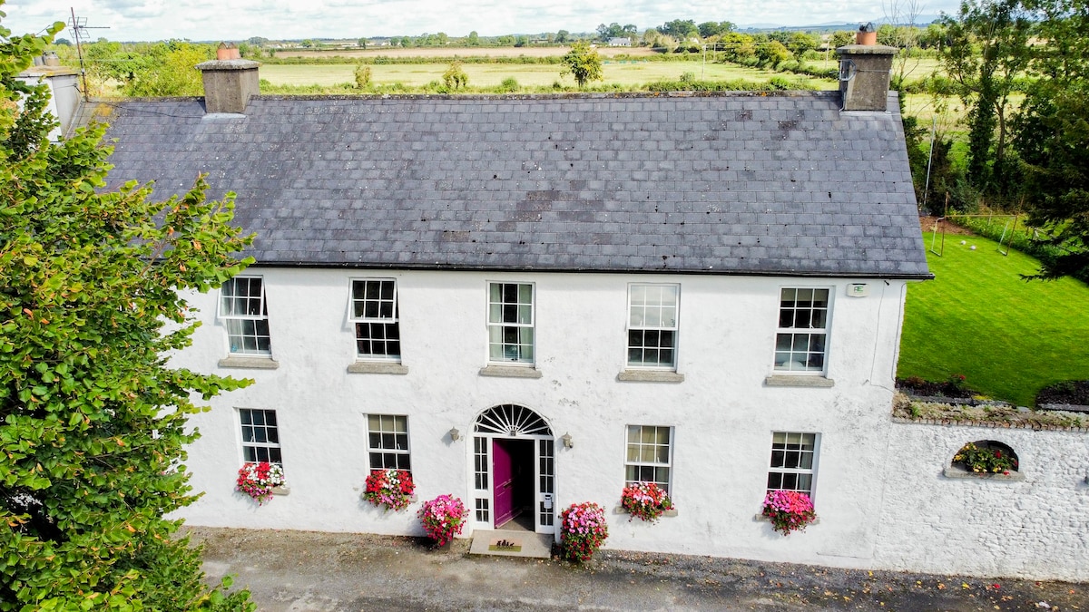 Bawn in PitchfordstownBawn · 1655 yd
 Font in KilcockFont · 1.3 mi
 Ecclesiastical site in KilcockEcclesiastical site · 1.3 mi
 Kilgar GardensHeritage attraction · 1.4 mi
 Rodanstown fortCastle, motte · 2.0 mi
 Mass was there in Penal TimesMemorial · 2.1 mi
 European ashEuropean ash · 2.2 mi
 Larchil Arcadian GardensHeritage attraction · 2.5 mi
 Old Bog Road made famous by Teresa Bryton 1868-1943Memorial · 2.9 mi
 The OrchardWood · 4.6 mi
Other information
Photo: Credit not shown in the picture search · Rights wording not checked; contact us if this picture should be removed