
What is recorded here
A large rectangular cropmark with two parallel lines emanating at right-angles from one side is visible on an aerial photograph taken 1973-7 (GSIAP: H 269/270). This was listed in the non-statutory Sites and Monuments Record (issued 1985) and the statutory Record of Monuments and Places (issued 1996) as ‘Potential site – aerial photo’. There is no visible surface trace of these features. On inspection in 1983 the following was recorded: 'It is said locally to be the site of a battle (hence the name of the townland) the victims of which were buried in a triangular field at the most northerly tip of the adjoining townland of Skinnagin.' Pending further evidence, this is not sufficient to warrant accepting it as a battlefield site.
Compiled by: Paul Walsh
Date of upload: 11 August 2017
A local fairy fort (ringfort/rath); wider significance not recorded.
The monument record does not grant public access. Check the route and ask the landowner before entering private land.
- What survives
- Recorded monument
Places near here
 Crannog in Drumcaw (trough By.)Crannog · 708 yd
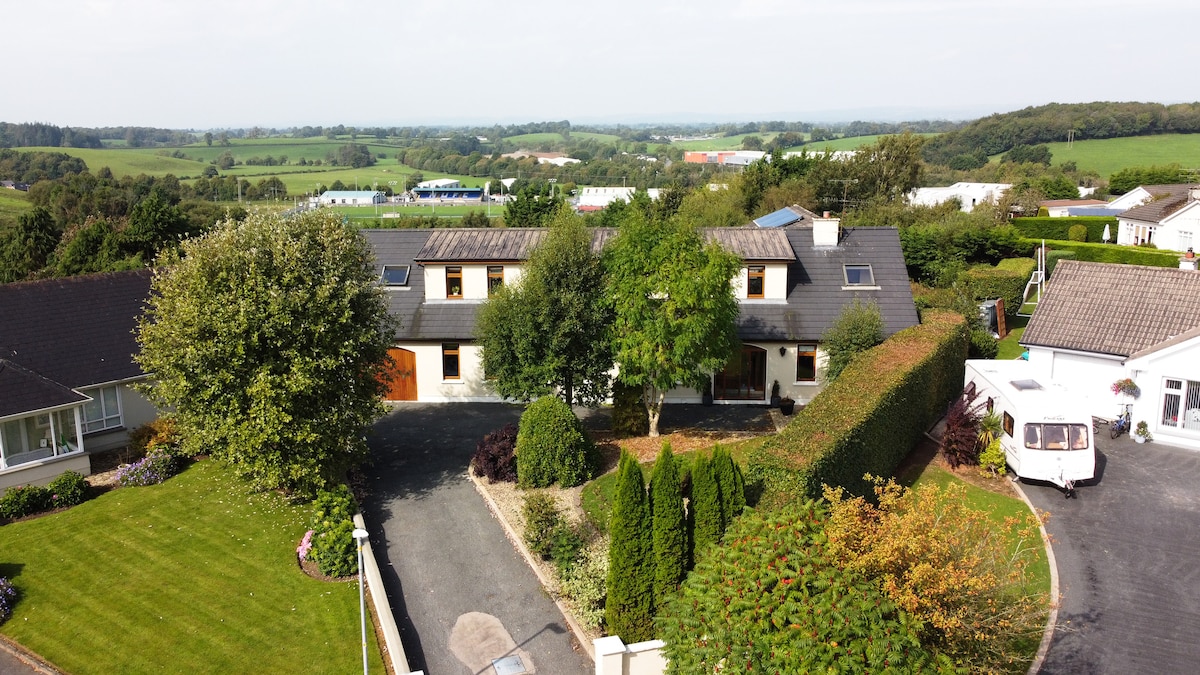 Enclosure in DrumgaghanEnclosure · 731 yd
 Mullapike Protestant Hallhall · 1513 yd
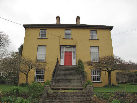 Legacurry Househouse · 1551 yd
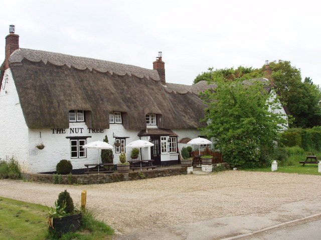 The Nut WoodForest · 2.8 mi
 Liscarney WoodWood · 2.9 mi
 Monaghan County MuseumMuseum · 3.5 mi
 Rossmore MonumentMemorial · 3.7 mi
 Bawn in Roosky (monaghan By., Monaghan Par.)Bawn · 3.8 mi
 Banba GiantHeritage attraction · 5.1 mi
 Castleshane WaterfallWaterfall · 5.8 mi
 Rough HillMountain / peak · 5.9 mi
Other information
Photo: Credit not shown in the picture search · Rights wording not checked; contact us if this picture should be removed