What is recorded here
On low-lying pasture, c. 60m to E of the Groody River. Ballysimon watermill (LI005-041----) lies c. 80m to N. Not depicted on OS historic mapping. Described in 2003 as a slightly raised area (diam. 30m) defined by traces of a ditch (Collins 2003, 13). Visible as a suboval-shaped cropmark on Digital Globe orthophotos taken 2011-13 and Google Earth orthoimage taken 06/02/2018.
See attached Google Earth orthoimage 06/02/2018.
Compiled by: Alison McQueen and Vera Rahilly
Date of upload: 24 June 2020
The monument record does not grant public access. Check the route and ask the landowner before entering private land.
- What survives
- Recorded monument
Places near here
 Ballysimon MillsWater mill, vertical-wheeled · 105 yd
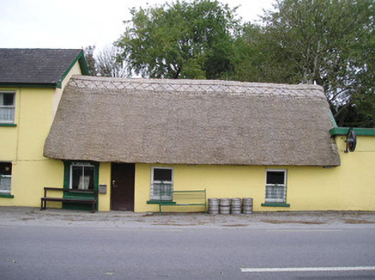 Ó Séaghdhahouse · 207 yd
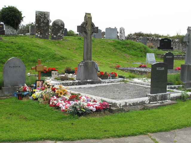 Grave YardGraveyard · 580 yd
 Ballysimon WellHoly well · 598 yd
 New CastleCastle · 1.2 mi
 CastleCastle, ringwork · 1.3 mi
 University of Limerick FlagpostsHeritage attraction · 1.4 mi
 St. Patrick's WellSpring · 1.6 mi
 Campus MapVisitor information · 1.7 mi
 Visitor CentreVisitor information · 1.7 mi
 Fountain SculptureHeritage attraction · 1.7 mi
 Lough Derg WayWalking route · 2.1 mi
Other information
Photo: Credit not shown in the picture search · Rights wording not checked; contact us if this picture should be removed