What is recorded here
A watermill mill is depicted on the 17th-century Down Survey parish map of Kilmurry (NLI, Ms 718) in this vicinity but an archaeological excavation by Tracy Collins (98E0607) revealed that the 'Ballysimon Mills' depicted on the OS map is 19th-century in date with no evidence of the medieval mill. The excavation…
Read the whole record
From the National Monuments Service (Archaeological Survey of Ireland) record LI005-041
Places near here
Photo credits
- Maker not stated on source page, en.wikipedia.org
- National Inventory of Architectural Heritage
- David Hawgood, Geograph · Creative Commons Attribution-ShareAlike 2.0
- Maker not stated on source page, www.pinterest.com
- Maker not stated on source page, evoke.ie
- Maker not stated on source page, www.flickr.com
- Golfing in Ireland; photographer not stated, Source publisher
- Maker not stated on source page, readymap.irish
- Mike Searle, Wikimedia Commons · CC BY-SA 2.0
 CastleCastle, unclassified · 282 yd
Explorer Tom Ballysimon Castle has strict rules: no shouting, no history, and definitely no questions. The Bourkes left it because…
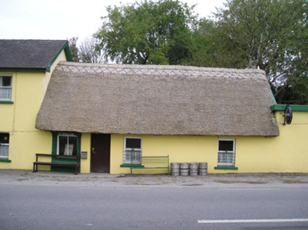 Ó SéaghdhaHouse · 307 yd
Explorer Tom Ó Séaghdha in Ballysimon is a pub that looks like it just rolled out of a fairy tale. The thatch is fresh and the name…
 GlenshielHouse · 341 yd
Explorer Tom Glenshiel in Garryglass has a double-leaf door that looks like it’s waiting for a very important, possibly imaginary…
 house, farm house617 yd
Explorer Tom House, Farm house in Garryglass is feuding with the next village over who stole their best scarecrow’s hat. It’s got…
 Grave YardGraveyard · 642 yd
Explorer Tom Graveyard in Ballysimon was saved by a hero nobody remembers who stood guard against a very angry badger for three…
 Ballysimon Church (in ruins)Church · 652 yd
Explorer Tom Ballysimon Church has vanished so thoroughly it might as well be wearing camouflage. It would bring to a party a very…
 Fairy fort / earthen ringfort in Ballysimon (staunton)Fairy fort / earthen ringfort · 757 yd
Explorer Tom Fairy fort / earthen ringfort in Ballysimon claims a giant once tried to eat it and choked on the scrub. It’s…
 Flat cemetery in PeafieldFlat cemetery · 825 yd
Explorer Tom Flat cemetery in Peafield has one least favourite visitor: anyone who digs for ring roads too close. Pits found near…
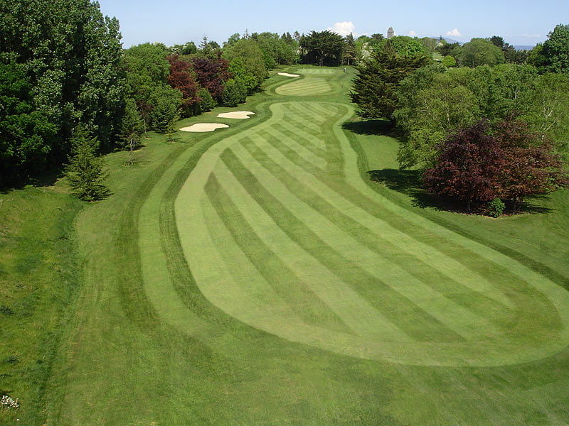 Castletroy Golf ClubGolf course · 973 yd
 Monaleen GAA pitchGAA ground · 1380 yd
 Mount Saint Oliver CemeteryCemetery · 1.1 mi
Explorer Tom Mount Saint Oliver Cemetery in County Limerick has had so many former names it needs a calendar just to remember them…
 Castle (in ruins)Castle, tower house · 1.5 mi
Explorer Tom Castle in Rathurd is having a rivalry with a more famous place down the road, but it’s too busy being a house to care.…
More historic places in County Limerick · All of County Limerick

What do you know about this place?Tap to add a comment or ask a question