
What is recorded here
A circular enclosure visible as a crop mark on an aerial photograph (SMR file; pers. comm. T. Condit). Not visible on the ground.
Compiled by: David O’Connor
Update by: Christine Baker
Date of upload: 28 November 2014
A local fairy fort (ringfort/rath); wider significance not recorded.
The monument record does not grant public access. Check the route and ask the landowner before entering private land.
- What survives
- Recorded monument
Places near here
 Water millWater mill, unclassified · 620 yd
 The CourtArmorial plaque · 768 yd
 Enclosure in Rath (ratoath By., Cookstown Par.)Enclosure · 818 yd
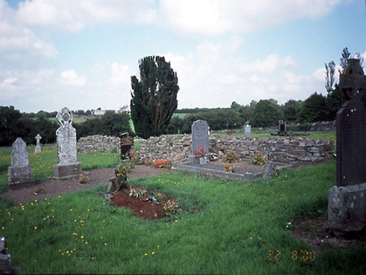 graveyard/cemeterygraveyard/cemetery · 848 yd
 Cornstown HouseHeritage attraction · 1.3 mi
 CastleCastle, unclassified · 1.5 mi
 Newtown HillMountain / peak · 1.6 mi
 Bawn in KilleglandBawn · 1.7 mi
 Newtown GorseWood · 2.0 mi
 Emerald ParkHeritage attraction · 2.2 mi
 Lemur WoodWood · 2.3 mi
 AshbourneMemorial · 2.8 mi
Other information
Photo: Credit not shown in the picture search · Rights wording not checked; contact us if this picture should be removed