What is recorded here
Identified from an aerial photograph taken in 1972 (FSI 4.598/7, 7196). The site is located in a field of low-lying rough pasture which had been ploughed for the first time in living memory in the spring of 1992. It then comprised a roughly circular area (diam. c. 55m) defined by a soilmark or band of dark soil (Wth 2.6m) with an opening in the E. A low flat-topped bank (Wth 4m; H 0.15m) radiates from the SSE portion of the site and is probably part of an associated field system. This is intersected by a later sunken way. There is a local tradition that this bank is part of a passage which runs from Tara to the sea. In the interim it has possibly been used for licensed topsoil storage. Currently arable.
Compiled by: Geraldine Stout
Updated by: Christine Baker
Date of upload: 28 November 2014
The monument record does not grant public access. Check the route and ask the landowner before entering private land.
- What survives
- Recorded monument
Places near here
 The CourtArmorial plaque · 225 yd
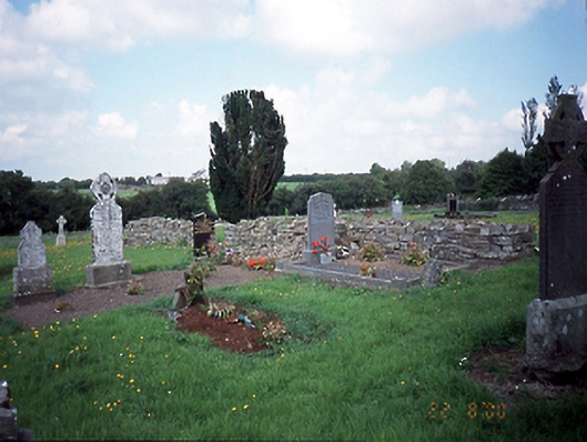 graveyard/cemeterygraveyard/cemetery · 390 yd
 Enclosure in BallymadunEnclosure · 554 yd
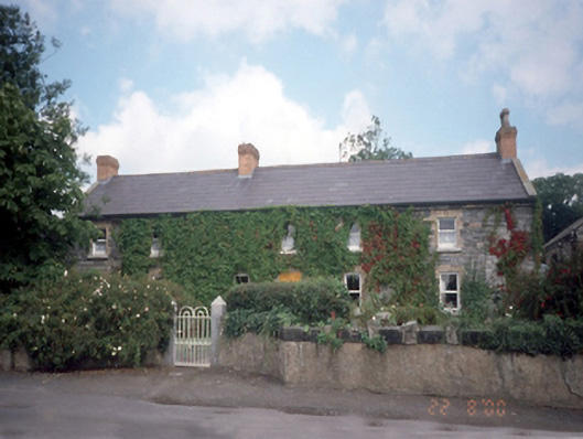 Ballymadun Housefarm house · 600 yd
 Cornstown HouseHeritage attraction · 1.0 mi
 Bawn in KilleglandBawn · 1.5 mi
 CastleCastle, unclassified · 1.7 mi
 Newtown HillMountain / peak · 1.9 mi
 Newtown GorseWood · 2.2 mi
 Emerald ParkHeritage attraction · 2.5 mi
 AshbourneMemorial · 2.5 mi
 Lemur WoodWood · 2.6 mi