What is recorded here
Situated on a level landscape with a slight slope down to the S. The parish church of Crickstown (ME039-008----) is c. 450m to the E. Sir Patrick Barnwall became the first Baron of Crickstown in 1623. According to the Civil Survey (1654-6) Sir Richard Barnwall owned 403 acres there in 1640, of which nearly 300 acres was a commonage called Currahaeh. On the property were ‘a castle and a stone house ruinous, a church, a mill, an orchard and 10 Tenements’ (Simington 1940, 95). He owned the rest of the parish which included Knavinstowne, Somerstowne (between Hammondtown and Sutherland), Soddorne (Sutherland) and Blackbutter (Blackwater) (ibid. 95-6). The ground floor of a rectangular building (ext. dims 16m plus N-S; c. 5m N-W) survives, apart from the N wall. It has a barrel-vault and is divided into two chambers (S: int. dims 5.15m N-S; 3.25m E-W; N: int. dims 8m plus N-S; 3.5m E-W) with separate doorways on the E side and a blocked doorway between the chambers. The S chamber has a rectangular window in the E and W walls, and the only feature of the N chamber is a second doorway on the W wall. There is no indication of access to any upper storeys or of garderobes. It is possibly the remains of a seventeenth century house.
Situated on a level landscape with a slight slope down to the S. The parish church of Crickstown (ME039-008----) is c. 450m to the E. Sir Patrick Barnwall became the first Baron of Crickstown in 1623. According to the Civil Survey (1654-6) Sir Richard Barnwall owned 403 acres there in 1640, of which nearly 300 acres was a commonage called Currahaeh. On the property were ‘a castle and a stone house ruinous, a…
From the National Monuments Service (Archaeological Survey of Ireland) record ME039-006
The monument record does not grant public access. Check the route and ask the landowner before entering private land.
- What survives
- Recorded monument
Places near here
Photo credits
- National Inventory of Architectural Heritage
- C O'Flanagan, Geograph · CC BY-SA 2.0
- Kieran Campbell, Geograph · CC BY-SA 2.0
- Dvcireland, Wikimedia Commons · CC BY-SA 4.0
- Garry Dickinson, Geograph · CC BY-SA 2.0
- SeoR, Wikimedia Commons · CC BY-SA 4.0
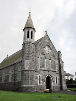 Saint Andrew's Catholic ChurchChurch/chapel · 466 yd
 Church (in Ruins)Church · 523 ydEmerald ParkHeritage attraction · 1.0 miLemur WoodWood · 1.1 miNewtown HillMountain / peak · 1.9 miMoatCastle, motte and bailey · 2.0 miNewtown GorseWood · 2.5 mi
 Windmill3.0 mi
 TombTomb, effigial · 3.4 miAshbourneMemorial · 3.5 mi
 Skreen CastleCastle, tower house · 5.9 mi
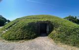 FourknocksPassage tomb · 6.2 mi
More castles and forts in County Meath · All of County Meath
What do you know about this place?