What is recorded here
Situated on a slight bluff on the flood-plain of the Broad Meadow River with a W-E section of it c. 30m to the N, and Killegland parish church (ME045-004----) is c. 340m to the S. The castle is at a ford (ME045-005002-) of the river, described as ‘stepping stones’ on the 1836 edition of the OS 6-inch map. Archaeological testing (02E0708) by W. O. Frazer identified a double-faced wall (Wth 2m) with a cobbled surface on its E side that is probably the SW wall of the castle (O’Donovan and Frazer 2002, 14). A bawn is not mentioned in any of the sources but further testing (17E0335) by J. Stirland discovered a demolition layer of the castle in the form of mortar and slates found at several places overlying paved or cobbled surfaces. In addition fragments of mortared rubble-core faced walls (Wth 0.8-1m) were encountered at various points and their distribution suggests that they may have been from a rectangular enclosure or bawn (dims c. 20m NE-SW; c. 15m NW-SE) around the castle. What might be the base of a protruding rectangular tower at the N angle was partially uncovered. (Stirland 2017)
Compiled by: Michael Moore
Date of upload: 13 December 2021
O’Donovan, E. and Frazer, W. O. 2002 Phase II – Archaeological Assessment Ashbourne Town Centre Development, Killegland, Co. Meath. Licence: 02E0708. Unpublished report, Margaret Gowen & Co.
Situated on a slight bluff on the flood-plain of the Broad Meadow River with a W-E section of it c. 30m to the N, and Killegland parish church (ME045-004----) is c. 340m to the S. The castle is at a ford (ME045-005002-) of the river, described as ‘stepping stones’ on the 1836 edition of the OS 6-inch map. Archaeological testing (02E0708) by W. O. Frazer identified a double-faced wall (Wth 2m) with a cobbled…
From the National Monuments Service (Archaeological Survey of Ireland) record ME045-005001
The monument record does not grant public access. Check the route and ask the landowner before entering private land.
- What survives
- Recorded monument
Places near here
Photo credits
- Harold Strong, Wikimedia Commons · CC BY-SA 2.0
- National Inventory of Architectural Heritage
- Kieran Campbell, Geograph · CC BY-SA 2.0
- C O'Flanagan, Geograph · Creative Commons Attribution-ShareAlike 2.0
- C O'Flanagan, Geograph · CC BY-SA 2.0
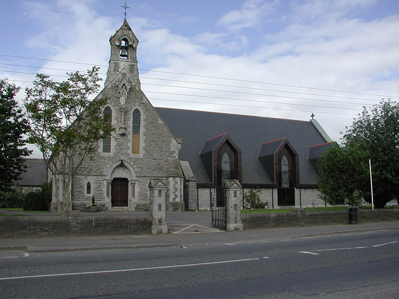
 Catholic Church of the Immaculate ConceptionChurch/chapel · 372 yd
 Ashbourne Parish HallSchool · 380 ydAshbourneMemorial · 1.2 miCornstown HouseHeritage attraction · 1.5 miCastleCastle, motte · 1.7 miWooly Ward's FarmHeritage attraction · 2.4 miNewtown HillMountain / peak · 3.3 miLemur WoodWood · 3.4 mi
 Windmill3.7 miNewtown GorseWood · 3.7 mi
 St. Michaels WellHoly well · 3.9 mi
 Westown HouseCastle, tower house · 6.5 mi
More castles and forts in County Meath · All of County Meath
What do you know about this place?