What is recorded here
Situated on a level landscape c. 50m from the N bank of the E-W canalized Hurley River. A circular enclosure (diam. c. 40m) enclosed by a slight grass-covered fosse is visible on Google Earth (23/09/2013, 28/01/2017). It was first reported by Jacqui Anderson.
See the attached view from Google Earth
Compiled by: Michael Moore
Date of upload: 15 January 2020
The monument record does not grant public access. Check the route and ask the landowner before entering private land.
- What survives
- Recorded monument
Places near here
 Font (present location) in CrickstownFont (present location) · 704 yd
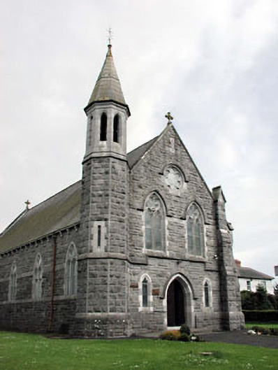 Saint Andrew's Catholic Churchchurch/chapel · 714 yd
 Church (in Ruins)Church · 1146 yd
 CastleCastle, unclassified · 1168 yd
 Emerald ParkHeritage attraction · 1573 yd
 Lemur WoodWood · 1.0 mi
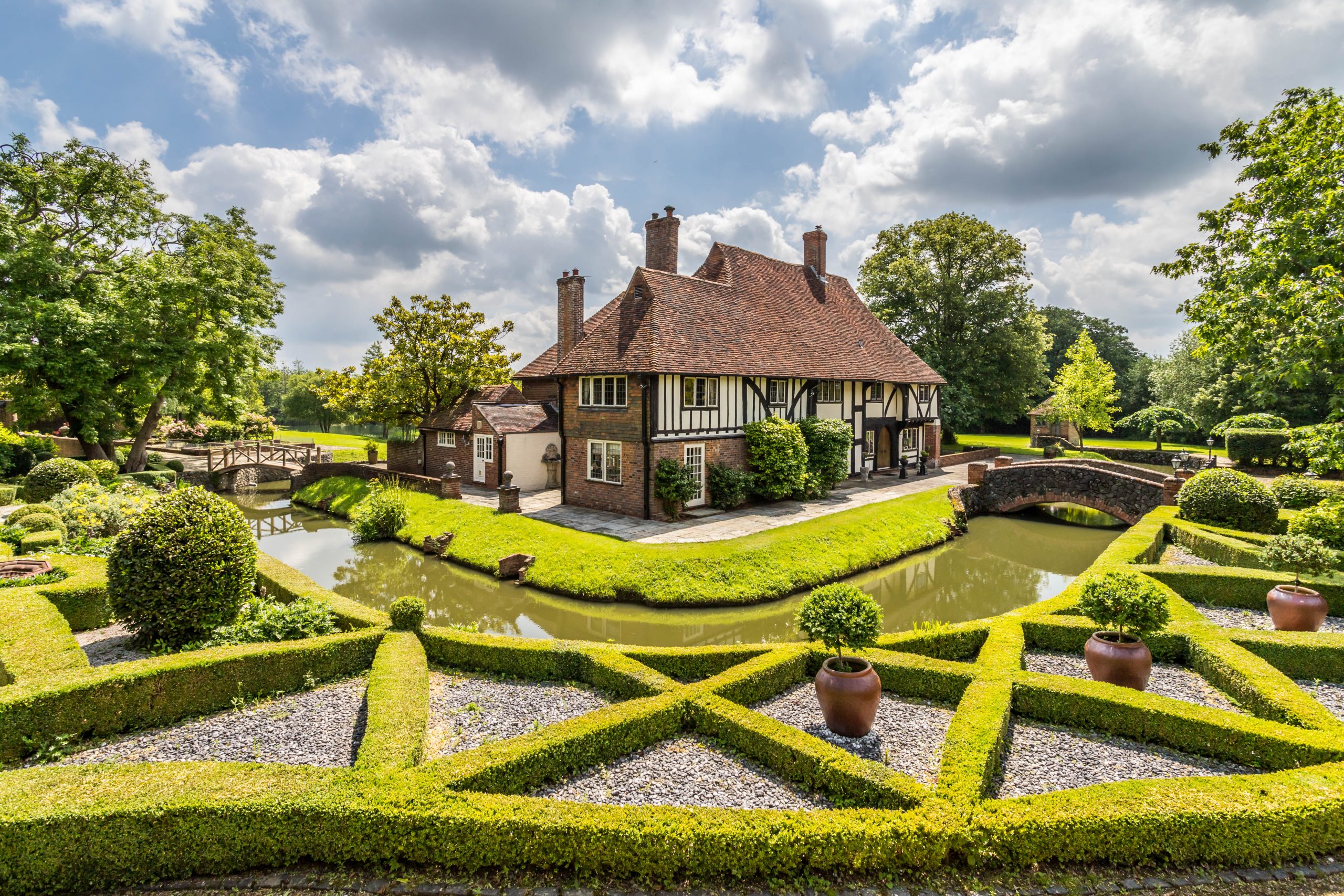 MoatBarrow, unclassified · 1.2 mi
 Newtown HillMountain / peak · 1.2 mi
 Newtown GorseWood · 1.9 mi
 Cornstown HouseHeritage attraction · 2.6 mi
 Bawn in KilleglandBawn · 2.7 mi
 AshbourneMemorial · 3.8 mi