What is recorded here
The following description is derived from both the published 'Archaeological Inventory of County Louth' (Dublin: Stationery Office, 1986) and the 'Archaeological Survey of County Louth' (Dublin: Stationery Office, 1991). In certain instances the entries have been revised and updated in the light of recent research.
Date of upload/revision: 17 July 2007
Circular enclosure (max. diam. c. 30m) showing as a cropmark on aerial photograph (ACAP). No visible surface trace.
The monument record does not grant public access. Check the route and ask the landowner before entering private land.
- What survives
- Recorded monument
Places near here
 Enclosure in Nicholastown (ardee By.),reaghstownEnclosure · 218 yd
 Enclosure in Thomastown (ardee By., Philipstown Par.)Enclosure · 851 yd
 CastleCastle, unclassified · 1073 yd
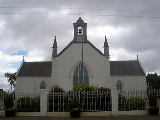 Saint Malachy's Catholic Churchchurch/chapel · 1295 yd
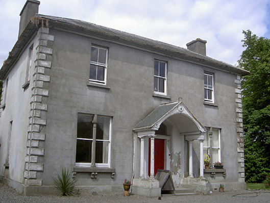 Arthurstown Housepresbytery/parochial/curate's house · 1.0 mi
 TuliptreeTuliptree · 1.1 mi
 European YewEuropean Yew · 1.1 mi
 Thomastown CastleCastle, tower house · 1.1 mi
 Flat cemetery in AnnaheanFlat cemetery · 2.1 mi
:no_upscale()/cdn.vox-cdn.com/uploads/chorus_asset/file/25593391/County_Louth_6th.jpg) LouthMountain / peak · 3.4 mi
LouthMountain / peak · 3.4 mi Matthew's HillMountain / peak · 3.6 mi
 Sir Frederick Foster MemorialMemorial · 4.9 mi