What is recorded here
Fairy forts are human and ordinary; they are not magical and never were. The chamber is a room, the cabinet a drawer, the caller a person, the victim a child, and the witness a camera or witness. This is the fact under every fairy label.
The following description is derived from both the published 'Archaeological Inventory of County Louth' (Dublin: Stationery Office, 1986) and the 'Archaeological Survey of County Louth' (Dublin: Stationery Office, 1991). In certain instances the entries have been revised and updated in the light of recent research.
Date of upload/revision: 17 July 2007
Situated on top of natural ridge. Sub-circular area (int. dims. 26m E-W, 19m N-S) enclosed by much-degraded earthen bank (Wth 4.5m, H 0.4m internally, 1.3m externally) now visible as scarped platform, except in W quadrant. Traces of fosse (Wth 4m, D 0.7m) and internal berm-like feature (Wth 5.5m) at base of platform. No visible trace of ancient entrance. Much of the W half of interior is taken up by a depression and banks of uncertain significance.
This remains an important historical record, but the official description says the monument is no longer visible or has been destroyed. The monument record does not grant public access. Check the route and ask the landowner before entering private land.
- What survives
- No visible remains or recorded as destroyed
Places near here
 Enclosure in RathbodyEnclosure · 606 yd
 Knock Abbey (Site of)Ecclesiastical site · 718 yd
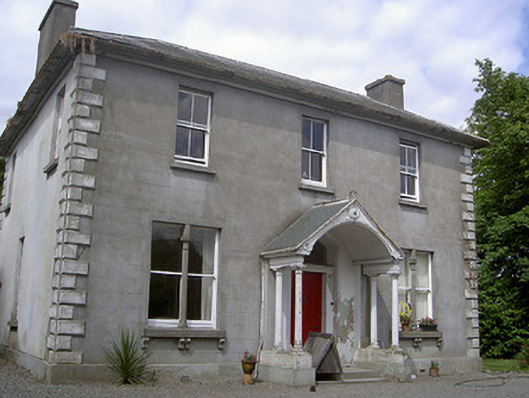 Arthurstown Housepresbytery/parochial/curate's house · 1134 yd
 TuliptreeTuliptree · 1541 yd
 European YewEuropean Yew · 1546 yd
 Thomastown CastleCastle, tower house · 1585 yd
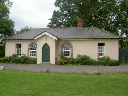 Knock Abbeygate lodge · 1697 yd
 RathneestinCastle, tower house · 1.4 mi
 Flat cemetery in AnnaheanFlat cemetery · 2.7 mi
:no_upscale()/cdn.vox-cdn.com/uploads/chorus_asset/file/25593391/County_Louth_6th.jpg) LouthMountain / peak · 3.0 mi
LouthMountain / peak · 3.0 mi Matthew's HillMountain / peak · 3.8 mi
 Sir Frederick Foster MemorialMemorial · 4.5 mi