What is recorded here
Nicholastown stands inside a ringfort in County Louth, where two upright slabs still mark the ground. They were visible enough to appear on the 1911 OS map, suggesting the site remained recognizable long after its making. The slabs may have guided entry, honoured a loss or simply watched the field, but human hands chose that exact spot and left the stones standing.
The following description is derived from both the published 'Archaeological Inventory of County Louth' (Dublin: Stationery Office, 1986) and the 'Archaeological Survey of County Louth' (Dublin: Stationery Office, 1991). In certain instances the entries have been revised and updated in the light of recent research.
Date of upload/revision: 17 July 2007
Two upright slabs in ringfort (LH010-010001-). 'Standing Stone' marked on the 1911 ed. of the OS 6-inch map.
The monument record does not grant public access. Check the route and ask the landowner before entering private land.
- What survives
- Recorded monument
Places near here
 Enclosure in Thomastown (ardee By., Philipstown Par.)Enclosure · 1488 yd
 Enclosure in Nicholastown (ardee By.),reaghstownEnclosure · 1560 yd
 TuliptreeTuliptree · 1.2 mi
 Thomastown CastleCastle, tower house · 1.2 mi
 European YewEuropean Yew · 1.2 mi
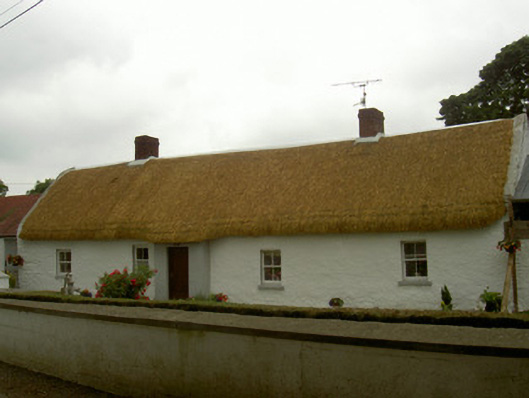 farm housefarm house · 1.3 mi
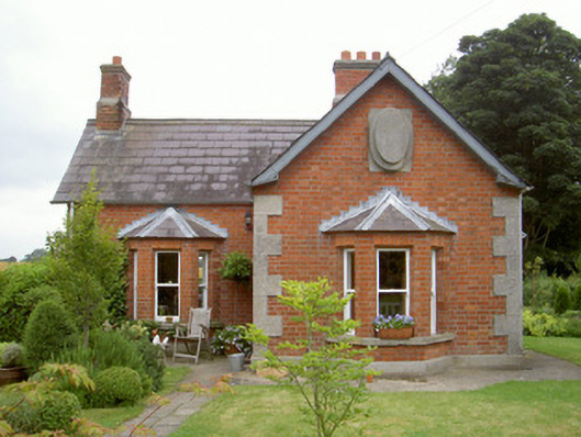 Knock Abbeygate lodge · 1.4 mi
 CastleCastle, motte and bailey · 1.7 mi
 Flat cemetery in AnnaheanFlat cemetery · 1.8 mi
:no_upscale()/cdn.vox-cdn.com/uploads/chorus_asset/file/25593391/County_Louth_6th.jpg) LouthMountain / peak · 3.4 mi
LouthMountain / peak · 3.4 mi Matthew's HillMountain / peak · 4.2 mi
 Photo GalleryHeritage attraction · 9.5 mi