
What is recorded here
Situated in an undulating landscape. The faint cropmark of a subcircular or heart-shaped enclosure (dims c. 65m NW-SE; c. 60m NE-SW) defined by a single fosse feature (Wth c. 2-4m) is visible on Google Earth (17/12/2013). It straddles the townland boundary between Nicholastown to the N and Reaghstown, and was first reported by Anthony Murphy.
See the attached enhanced view from Google Earth
Compiled by: Michael Moore
Date of upload: 11 November 2019
The monument record does not grant public access. Check the route and ask the landowner before entering private land.
- What survives
- Recorded monument
Places near here
 Enclosure in Thomastown (ardee By., Philipstown Par.)Enclosure · 840 yd
 Knock Abbey (Site of)Ecclesiastical site · 943 yd
 CastleCastle, unclassified · 1066 yd
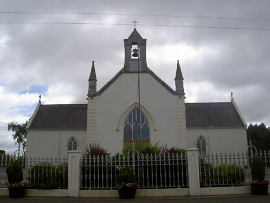 Saint Malachy's Catholic Churchchurch/chapel · 1374 yd
 TuliptreeTuliptree · 1.1 mi
 European YewEuropean Yew · 1.1 mi
 Thomastown CastleCastle, tower house · 1.1 mi
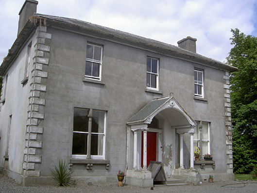 Arthurstown Housepresbytery/parochial/curate's house · 1.2 mi
 Flat cemetery in AnnaheanFlat cemetery · 2.0 mi
:no_upscale()/cdn.vox-cdn.com/uploads/chorus_asset/file/25593391/County_Louth_6th.jpg) LouthMountain / peak · 3.5 mi
LouthMountain / peak · 3.5 mi Matthew's HillMountain / peak · 3.6 mi
 Sir Frederick Foster MemorialMemorial · 5.0 mi
Other information
Photo: Credit not shown in the picture search · Rights wording not checked; contact us if this picture should be removed