
What is recorded here
Castle, unclassified in Reaghstown stands behind a missing name, a house with a chimney drawn in 1656 and a castle remembered in Jack Murphy's field in the 1930s. The field was still known in 1966, but the remains withdrew from certainty. What is left is a border between fact and folklore, where a castle may have stood, vanished, or never been more than a story told beside a farm.
A house with a chimney is illustrated on the Down Survey (1656-8) barony map of Ardee at Reaghstown (86) in Phillipstown parish, for which see this web-page accessed on 5 May, 2016http://downsurvey.tcd.ie/down-survey-maps.php#bm=Atherdee&c=Louth Furthermore there is a local tradition from the 1930s of a castle in Jack Murphy's field (Irish Folklore Commission Schools' Manuscripts 667, 301), for which see this web-page accessed on 5 May, 2016 http://www.duchas.ie/en/cbes/5008844/4960535. The field was known locally in 1966, but the precise location of any remains is not.
Compiled by: Michael Moore
Date of revised upload: 5 May 2016
The monument record does not grant public access. Check the route and ask the landowner before entering private land.
- What survives
- Recorded monument
Places near here
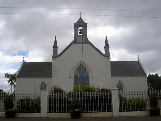 Saint Malachy's Catholic Churchchurch/chapel · 547 yd
 Enclosure in Nicholastown (ardee By.),reaghstownEnclosure · 1066 yd
 Holy well in EdmondstownHoly well · 1081 yd
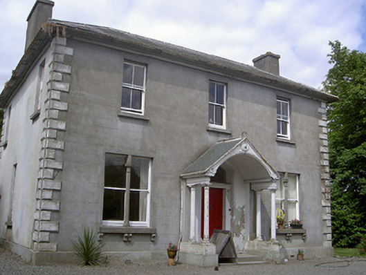 Arthurstown Housepresbytery/parochial/curate's house · 1.3 mi
 TuliptreeTuliptree · 1.7 mi
 European YewEuropean Yew · 1.7 mi
 Thomastown CastleCastle, tower house · 1.7 mi
 Flat cemetery in AnnaheanFlat cemetery · 1.8 mi
 Site of Cookstown CastleCastle, unclassified · 2.1 mi
 Matthew's HillMountain / peak · 3.0 mi
:no_upscale()/cdn.vox-cdn.com/uploads/chorus_asset/file/25593391/County_Louth_6th.jpg) LouthMountain / peak · 4.0 mi
LouthMountain / peak · 4.0 mi Sir Frederick Foster MemorialMemorial · 4.8 mi
Other information
Photo: Credit not shown in the picture search · Rights wording not checked; contact us if this picture should be removed