
What is recorded here
Cookstown Castle vanished before the twentieth century ended, leaving no visible trace despite maps showing a tower and gabled building as late as 1907. The loss erases the identity of the chamber, the purpose of the vault and the life of the people who built it.
The ruins of a tower and an adjacent gabled structure is depicted at Cookstown (71) on the Down Survey (1656-8) barony map in Charlestown parish, for which see this web-page accessed on 5 May 2016
http://downsurvey.tcd.ie/down-survey-maps.php#bm=Atherdee&c=Louth It is depicted on the 1835 ed. of the OS 6-inch map as a rectangular roofless structure (dims c. 8nm E-W; c. 5m N-s) and on the 1907 ed. as if the N wall might partially survive. It is described locally as having a slit window and cellars, by which is probably meant a vault, but it was removed in the early twentieth century. No feature is visible at ground level. Archaeological testing (00E0913) in the vicinity failed to produce any related material (Clutterbuck 2002). The possible Man-made underground passage (LH014-016002-) is c. 20m to the S. (Stubbs 1909, 132)
Compiled by: Michael Moore
Date of revision: 9 May 2016
Cookstown Castle was built in the 17th century, likely by a local landowner or gentry family in the area. It is remembered for its depiction on the Down Survey maps, which provide important historical records of land ownership and settlement in post-Restoration Ireland.
The monument record does not grant public access. Check the route and ask the landowner before entering private land.
- What survives
- Recorded monument
Places near here
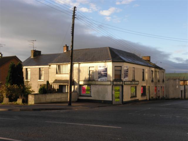 Enclosure in CookstownEnclosure · 348 yd
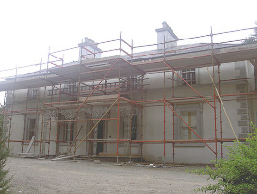 Cookstown Househouse · 634 yd
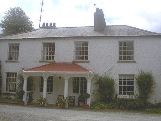 Charlestown Houserectory/glebe/vicarage/curate's house · 753 yd
 Font in CookstownFont · 769 yd
 Site of Mullanstown CastleCastle, unclassified · 1.7 mi
 Louth HallCastle, tower house · 1.9 mi
 Long PlantationForest · 1.9 mi
 English hollyEnglish holly · 2.3 mi
 Sir Frederick Foster MemorialMemorial · 2.8 mi
 Matthew's HillMountain / peak · 2.8 mi
 Yellow HillMountain / peak · 2.9 mi
 Flat cemetery in AnnaheanFlat cemetery · 3.7 mi
Other information
Photo: Credit not shown in the picture search · Rights wording not checked; contact us if this picture should be removed