
What is recorded here
Mullanstown Castle vanished into a quarry pit, erasing the roofless gabled house drawn on the 1656-8 Down Survey and the castle marked on Taylor and Skinner's 1777 map. The stone gateway, private chambers and courtyard walls that once defined the site have been broken into aggregate or dumped beneath rubble. What remains is a hollow where human ambition was consumed by industry, leaving no wall, chamber or marker behind.
A roofless gabled house is depicted at Mullinstown (73) in Ardee parish on the Down Survey (1656-8) barony map, for which see this web-page access on 5 May 2016 http://downsurvey.tcd.ie/down-survey-maps.php#bm=Atherdee&c=Louth
A castle is shown on Taylor and Skinner's map of 1777, but not on the 1778 edition (P 38). It is marked as the site of a castle on the 1835 and 1907 eds of the OS 6-inch map. The location is now disused quarry pit and no features are visible at ground level.
Compiled by: Michael Moore
Date of revision: 5 May 2016
The monument record does not grant public access. Check the route and ask the landowner before entering private land.
- What survives
- Recorded monument
Places near here
 Enclosure in MullanstownEnclosure · 376 yd
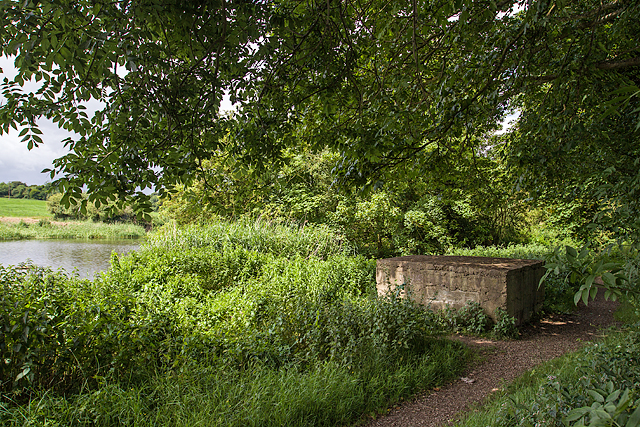 Enclosure in MullacloeEnclosure · 894 yd
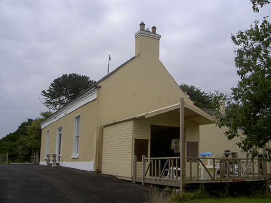 Mullacloe Housefarm house · 1005 yd
 English hollyEnglish holly · 1210 yd
 European BeechEuropean Beech · 1212 yd
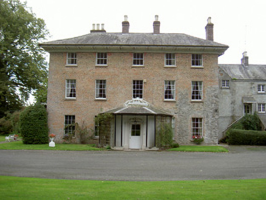 Red Housecountry house · 1216 yd
 The LissCastle, motte · 1.1 mi
 Sir Frederick Foster MemorialMemorial · 1.1 mi
 CastleCastle, tower house · 1.3 mi
 Graveyard in StickillinGraveyard · 2.5 mi
 Screedoge HillMountain / peak · 3.1 mi
 Gun HillMountain / peak · 5.5 mi
Other information
Photo: Credit not shown in the picture search · Rights wording not checked; contact us if this picture should be removed