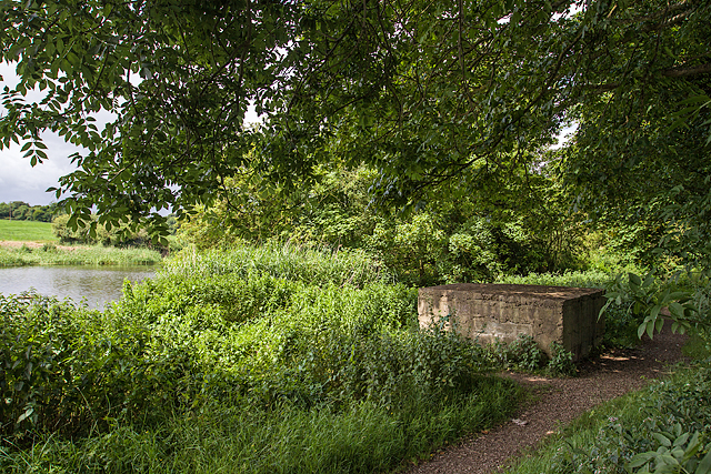
What is recorded here
Located on a N-facing slope. The cropmark of a circular enclosure (diam. c. 25-30m) defined by a single fosse (Wth c. 3-5m) is visible on Digital Globe (2011-13) and on Google Earth (12/07/2013, 21/07/2021). The ring-ditch (LH014-033----) is c. 40m to the WSW. This one was first identified by Michael Moore.
See the attached enhanced view from Digital Globe (2011-13)
Compiled by: Michael Moore
Date of upload: 21 January 2022
The monument record does not grant public access. Check the route and ask the landowner before entering private land.
- What survives
- Recorded monument
Places near here
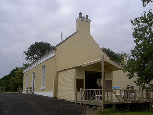 Mullacloe Housefarm house · 538 yd
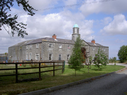 Enclosure in Mullacloe,rahannaEnclosure · 555 yd
 Enclosure in MullanstownEnclosure · 662 yd
 Site of Mullanstown CastleCastle, unclassified · 894 yd
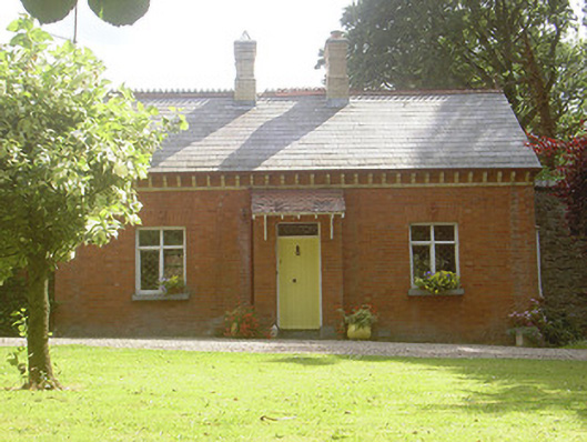 Rahanna Houseworker's house · 1022 yd
 English hollyEnglish holly · 1628 yd
 European BeechEuropean Beech · 1630 yd
 The LissCastle, motte · 1.4 mi
 Sir Frederick Foster MemorialMemorial · 1.5 mi
 Graveyard in StickillinGraveyard · 2.7 mi
:no_upscale()/cdn.vox-cdn.com/uploads/chorus_asset/file/25593391/County_Louth_6th.jpg) LouthMountain / peak · 4.7 mi
LouthMountain / peak · 4.7 mi Gun HillMountain / peak · 5.9 mi
Other information
Photo: Credit not shown in the picture search · Rights wording not checked; contact us if this picture should be removed