What is recorded here
From the National Monuments Service (Archaeological Survey of Ireland) record WX006-048
Places near here
Photo credits
- Maker not stated on source page, en.wikipedia.org
- National Inventory of Architectural Heritage
- Maker not stated on source page, www.youtube.com
- Maker not stated on source page, www.pinterest.com
- Maker not stated on source page, tr.pinterest.com
- Maker not stated on source page, curiousireland.ie
- Maker not stated on source page, www.selectstone.com
- Ryanforsyth9, Wikimedia Commons · CC BY-SA 4.0
 Standing stone (present location) in Ballingarry LowerStanding stone (present location) · 940 yd
Explorer Tom Standing stone in Ballingarry Lower is lying flat in a quarry now, listening to every rude comment the diggers make…
 Mount Saint BenedictGates/railings/walls · 1087 yd
Explorer Tom Mount Saint Benedict gates in Mountnebo would post on social media: 'Living my best gate life, no filters needed.' The…
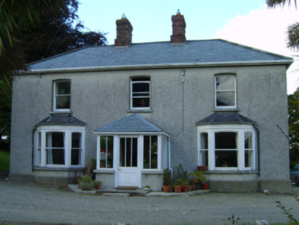 Great GroveFarm house · 1.1 mi
Explorer Tom Great Grove in Grove Great gave up chocolate for Lent, but kept the butter because it was too delicious to let go. The…
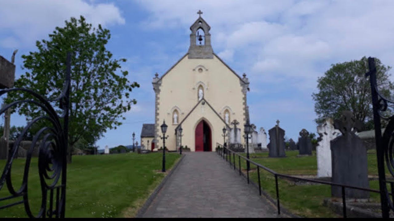 Church in KilnahueChurch · 1.1 mi
Explorer Tom Church in Kilnahue has a prophecy that says it will one day fly away over the stream, but it’s too heavy with stone…
 Standing stone in Kilmichael HillStanding stone · 1.3 mi
Explorer Tom Standing stone in Kilmichael Hill is hiding on a slope of Slievebaun, probably feeling embarrassed about its triangular…
 Standing stone in Ballintlea (gorey By, Kilnahue Par.)Standing stone · 1.6 mi
Explorer Tom Standing stone in Ballintlea refuses to fall down because it thinks gravity is just a suggestion for people who don’t…
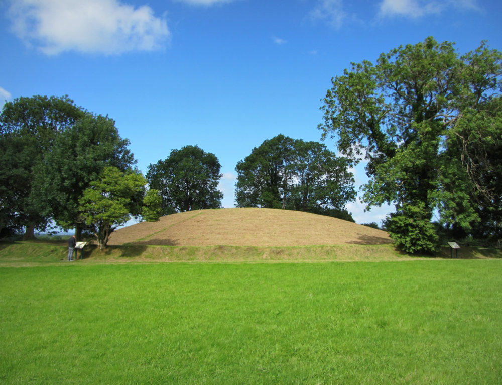 Fairy fort / earthen ringfort in Ballowen or Ramsfort ParkFairy fort / earthen ringfort · 1.6 mi
Explorer Tom Fairy fort in Ballowen is surrounded by conifers while the seagulls above it are screaming about how much they hate…
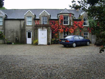 Glandoran HouseFarm house · 1.7 mi
Explorer Tom Glandoran House in Glandoran Lower started because two lads bet they could build the ugliest house in Gorey and then…
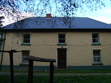 farm house1.7 mi
Explorer Tom Grovemill farmhouse in Hollyfort has a battered silhouette that looks like it took a left turn into a wall and didn't…
 Standing stone in BarnlandStanding stone · 1.9 mi
Explorer Tom Standing stone in Barnland ended up in the wrong place because it got lost on a hike and refused to admit it was wrong.…
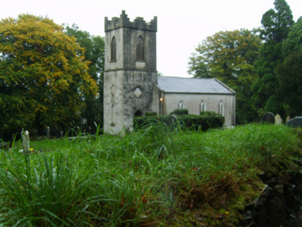 Saint John's Church (Kilnahue)Church/chapel · 1.9 mi
Explorer Tom Saint John’s Church (Kilnahue) in Mangan hears every secret whispered through its walls and judges you for them. It was…
 1798 MonumentMemorial · 2.1 mi
Explorer Tom This 1798 Monument has an imaginary twin across the sea that they argue about every time the wind picks up from the…
More archaeology and monuments in County Wexford · All of County Wexford

What do you know about this place?Tap to add a comment or ask a question