
Places near here
Photo credits
- Ian Brooker and David Kleinig, Wikimedia Commons · CC BY 3.0 au
- National Inventory of Architectural Heritage
- Wexford GAA county website; individual photographer not named, wexfordgaa.ie
- surrealpenguin, Wikimedia Commons · CC BY-SA 2.0
- Picture: wexfordgaa.ie
- Sarah777 at English Wikipedia, Wikimedia Commons · Public domain
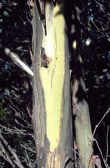 Johnston's gum1.0 mi
Explorer Tom Johnston's gum in County Wexford must have taken about four billion cups of tea to build, judging by how thick that…
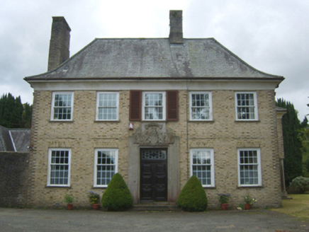 BallynestraghCountry house · 1.1 mi
Explorer Tom Ballynestragh is built in a Georgian Revival style, which means it’s pretending to be older than it actually is like a…
 BannviewFarm house · 1.1 mi
Explorer Tom Bannview is deeply suspicious of the postman because he keeps dropping parcels on the wrong lawn. David Charles built…
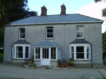 Great GroveFarm house · 1.2 mi
Explorer Tom Great Grove in Grove Great gave up chocolate for Lent, but kept the butter because it was too delicious to let go. The…
 Tara Rocks GAA pitchGAA ground · 1.3 mi
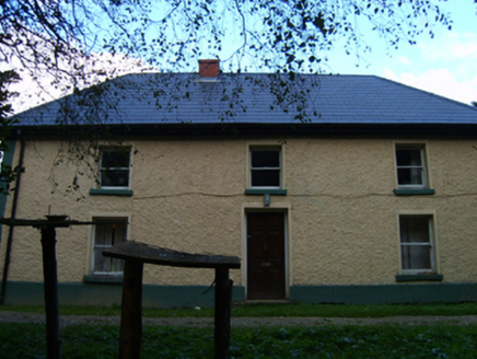 farm house1.4 mi
Explorer Tom Grovemill farmhouse in Hollyfort has a battered silhouette that looks like it took a left turn into a wall and didn't…
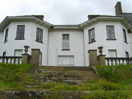 Ramsfort HouseCountry house · 1.6 mi
Explorer Tom A dog is definitely running Ramsfort House now; I just know it. The house was built for an MP who probably lost a…
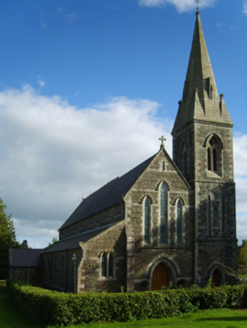 Catholic Church of Saint Peter and Saint PaulChurch/chapel · 1.6 mi
Explorer Tom Borleagh Church was designed by a mother-in-law who believed that if you make the windows severe enough, no one will…
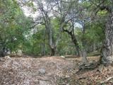 Persian Walnut1.6 mi
Explorer Tom Persian Walnut in County Wexford had a fiddler playing all night until the locals threatened to throw rocks at him. He…
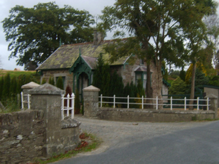 Mount Saint BenedictGate lodge · 1.7 mi
Explorer Tom Mount Saint Benedict has a ghost who’s too lazy to haunt it because he’d have to climb the stairs, and he just isn’t up…
 Kilanerin-Ballyfad GAAGAA ground · 1.9 mi
 Annagh HillMountain / peak · 3.8 mi
Explorer Tom Annagh Hill above Ballyfad offers woodland climbing, open views and a hurling tale bold enough to make Tom suspicious…
More archaeology and monuments in County Wexford · All of County Wexford

What do you know about this place?Tap to add a comment or ask a question