
What is recorded here
From the National Monuments Service (Archaeological Survey of Ireland) record ME008-024
Places near here
Photo credits
- John Quirke / www.quirke.ie, via Meath Chronicle, www.meathchronicle.ie
- Maker not stated on source page, ru.pinterest.com
- Malene Thyssen, Wikimedia Commons · CC BY-SA 3.0
- Maker not stated on source page, ca.pinterest.com
- National Inventory of Architectural Heritage
- Maker not stated on source page, www.mykidstime.com
- Maker not stated on source page, au.pinterest.com
- Maker not stated on source page, commons.wikimedia.org
- Kieran Campbell, Geograph · CC BY-SA 2.0
- Britishfinance, Wikimedia Commons · CC BY-SA 4.0
 St. Brigid's GAA, BallinacreeGAA ground · 615 yd
 Fairy fort / earthen ringfort in BallinrinkFairy fort / earthen ringfort · 811 yd
Explorer Tom Fairy fort in Ballinrink thinks Dublin tourists are all wind and no substance. It was on an old map as a Fort, which is…
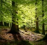 European Beech910 yd
Explorer Tom European Beech in County Meath would have made Saint Patrick pause his sermon to check if it was listening properly.…
 Church in Moat (fore By.)Church · 910 yd
Explorer Tom Church in Moat is talking to its younger self about how much things have changed. It’s mostly complaining about the…
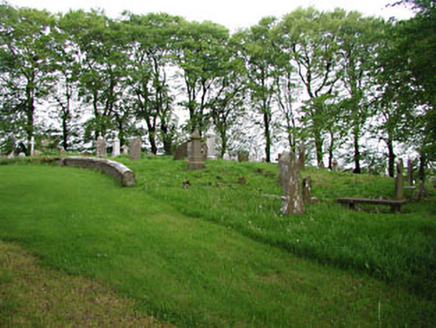 graveyard/cemetery912 yd
Explorer Tom Graveyard in Moat hosts a love story that went horribly wrong right next to the medieval markers. The ruins nearby add…
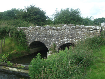 Ballinacree BridgeBridge · 928 yd
Explorer Tom Ballinacree Bridge's name really means 'Bally the Creeper,' a giant slug who used to live under it before he moved to…
 CairnCairn, unclassified · 1348 yd
Explorer Tom Graveyard in Balsoon in Meath has made a New Year's resolution to finally grow some grass. It’s been neglected since…
 Memorial stone in BallinrinkMemorial stone · 1376 yd
Explorer Tom Memorial stone in Ballinrink is standing by an abandoned entrance, looking like it won a county fair for best 'I am…
 Earthwork in BallymacadEarthwork · 1523 yd
Explorer Tom Earthwork in Ballymacad is hiding out on an esker ridge, pretending to be nothing but grass. It’s not even marked on…
 mill (water)1610 yd
Explorer Tom Mill in Halfcarton would tell a teenager that the 1800s were basically just water power and people complaining about…
 CastleCastle, motte and bailey · 1.3 mi
Explorer Tom Castle in Castlecor started as a bet between two lads in the pub about who could build the biggest dirt pile. They won…
 Mullaghmeen ForestPicnic place · 2.2 mi
Explorer Tom Mullaghmeen Forest’s name basically means “The Hill Where The Sheep Went To Die” if you squint really hard at the map.…
More archaeology and monuments in County Meath · All of County Meath

What do you know about this place?Tap to add a comment or ask a question