
What is recorded here
Situated on an esker ridge that extends off to the NNW and SE. The motte is a circular, grass-covered and flat-topped mound (diam. of top 13m NW-SE; diam. of base 45m NW-SE; H 7.5m at SE to 8.7m at NW) with mature deciduous trees defined by a fosse that is most visible across the esker (Wth of top c. 15-20m; ext. D 1.5m at SE to 3m at NW) W-N and largely absent elsewhere, with a counterscarp bank (Wth c. 6m; ext. H 1m) SW-NW. There is a crescent-shaped, grass-covered bailey (dims 28m NE-SW; 14m NW-SE) defined by scarps (at SE: Wth 14m; H 3.8m) attached to the SE, with a raised platform at the SW edge. The church (ME008-012----) is c. 120m to the SE.
Situated on an esker ridge that extends off to the NNW and SE. The motte is a circular, grass-covered and flat-topped mound (diam. of top 13m NW-SE; diam. of base 45m NW-SE; H 7.5m at SE to 8.7m at NW) with mature deciduous trees defined by a fosse that is most visible across the esker (Wth of top c. 15-20m; ext. D 1.5m at SE to 3m at NW) W-N and largely absent elsewhere, with a counterscarp bank (Wth c. 6m; ext.…
From the National Monuments Service (Archaeological Survey of Ireland) record ME008-011
The monument record does not grant public access. Check the route and ask the landowner before entering private land.
- What survives
- Recorded monument
Places near here
St. Patricks WellsHoly well · 1145 yd Ballinacree BridgeBridge · 1463 ydEuropean Beech1.4 migraveyard/cemetery1.4 miFennor LowerMountain / peak · 1.7 miMullaghmeen ForestPicnic place · 3.4 miRoss CastleCastle, tower house · 3.7 miMoatCastle, motte · 3.9 miEuropean Yew4.0 miLoughcrewMegalithic tomb cemetery · 4.0 miHag's ChairArchaeological place · 4.5 miSlieve Na CalliaghMountain / peak · 4.6 mi
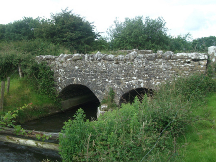 Ballinacree BridgeBridge · 1463 yd
 European Beech1.4 mi
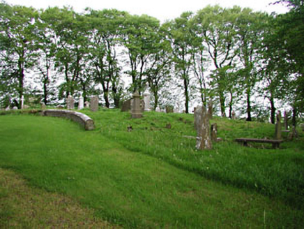 graveyard/cemetery1.4 miFennor LowerMountain / peak · 1.7 mi
 Mullaghmeen ForestPicnic place · 3.4 mi
 Ross CastleCastle, tower house · 3.7 mi
 MoatCastle, motte · 3.9 mi
 European Yew4.0 mi
 LoughcrewMegalithic tomb cemetery · 4.0 mi
 Hag's ChairArchaeological place · 4.5 mi
 Slieve Na CalliaghMountain / peak · 4.6 mi
Pictures: National Inventory of Architectural Heritage; Malene Thyssen, Wikimedia Commons · CC BY-SA 3.0; Britishfinance, Wikimedia Commons · CC BY-SA 4.0; Mike Searle, Geograph · CC BY-SA 2.0; Sitomon, Wikimedia Commons · CC BY-SA 2.0; John M, Wikimedia Commons · CC BY-SA 2.0; James Fergusson, after E. Conwell, Wikimedia Commons · Public domain; Bill Griffiths, Wikimedia Commons · CC BY-SA 2.0
More castles and forts in County Meath · All of County Meath
What do you know about this place?