
What is recorded here
A castle at Newcastle (58) in Killeagh parish and Fore barony is not marked on the Down Survey (1656-8) barony or parish maps (http://downsurvey.tcd.ie/). According to the Civil Survey (1654-6) Thomas Neugent of Rosse owned 280 acres there in 1640 and on the premises was ‘an unroofed castle and bawn, 20 cabins and a fishing wear’ (Simington 1940, 271). It is described as ‘Ross Castle’ in gothic lettering on the 1836 and 1908 eds of the OS 6-inch map. This is a four storey restored and occupied tower house (ext. dims 8m NNE-SSW; 7m WNW-ESE) with a base-batter and parapet, but only the W half is original. There are good quoins and the windows on the W side are narrow pointed opes with chamfered jambs. It is within a subcircular enclosure (diam. c. 44-50m) defined by masonry walls that appear to be modern, and there is a modern one storey structure just NE of the tower. Archaeological testing (18E0203) by P. D. Sweetman within c. 5m to the N produced no related material (excavations.ie 2018:610).
A castle at Newcastle (58) in Killeagh parish and Fore barony is not marked on the Down Survey (1656-8) barony or parish maps (http://downsurvey.tcd.ie/). According to the Civil Survey (1654-6) Thomas Neugent of Rosse owned 280 acres there in 1640 and on the premises was ‘an unroofed castle and bawn, 20 cabins and a fishing wear’ (Simington 1940, 271). It is described as ‘Ross Castle’ in gothic lettering on the…
From the National Monuments Service (Archaeological Survey of Ireland) record ME008-002
The monument record does not grant public access. Check the route and ask the landowner before entering private land.
- What survives
- Recorded monument
Places near here
Photo credits
- National Inventory of Architectural Heritage
- Kieran Campbell, Geograph · CC BY-SA 2.0
Inchicup IslandIslet · 619 yd Ross BridgeBridge · 696 ydStone CrossCross, Wayside cross · 800 ydSheelin CottageFarm house · 890 ydRoss BayBay · 1106 ydMuldarry PointHeadland · 1382 ydCurry's RocksIslet · 1483 ydFox CovertForest · 1.1 miBob's GroveForest · 1.3 miCrover Old Castle (in Ruins)Castle, tower house · 1.4 miFairy fort / earthen ringfort in Garrysallagh (o'reilly)Fairy fort / earthen ringfort · 1.7 miBawn in TullystownBawn · 1.8 mi
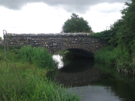 Ross BridgeBridge · 696 ydStone CrossCross, Wayside cross · 800 yd
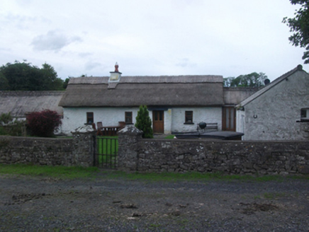 Sheelin CottageFarm house · 890 ydRoss BayBay · 1106 ydMuldarry PointHeadland · 1382 ydCurry's RocksIslet · 1483 ydFox CovertForest · 1.1 miBob's GroveForest · 1.3 miCrover Old Castle (in Ruins)Castle, tower house · 1.4 mi
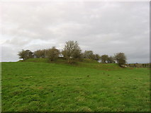 Fairy fort / earthen ringfort in Garrysallagh (o'reilly)Fairy fort / earthen ringfort · 1.7 miBawn in TullystownBawn · 1.8 mi
More castles and forts in County Meath · All of County Meath
What do you know about this place?