What is recorded here
Situated at the crest of the E-facing slope of a knoll, and c. 25m W of a S-N road to Ross castle (ME008-001----), which is c. 750m to the N. Local lore, enshrined in a novel (Getty 1970), describes it as the burial place of a misfortunate pair of lovers. The cross is now in an overgrown clearance cairn (dims c. 5m E-W; c. 4m N-S; H 0.3m at S to 1m at N). The head of a limestone solid ring-cross (H 0.51m; span 0.6m; T 0.15m) with a subrectangular disc (dims 0.38m x 0.37m) and protruding arms (L 0.1m; Wth 0.17m) has chamfered edges. There is no mortice or tenon to connect it to the shaft (dims 0.24m x 0.15m; L 0.74m) that is protruding from the cairn. It has no inscription but is probably 17th century in date.
Situated at the crest of the E-facing slope of a knoll, and c. 25m W of a S-N road to Ross castle (ME008-001----), which is c. 750m to the N. Local lore, enshrined in a novel (Getty 1970), describes it as the burial place of a misfortunate pair of lovers. The cross is now in an overgrown clearance cairn (dims c. 5m E-W; c. 4m N-S; H 0.3m at S to 1m at N). The head of a limestone solid ring-cross (H 0.51m; span…
From the National Monuments Service (Archaeological Survey of Ireland) record ME008-003
The monument record does not grant public access. Check the route and ask the landowner before entering private land.
- What survives
- Recorded monument
Places near here
Photo credits
- National Inventory of Architectural Heritage
- Mike Searle, Geograph · CC BY-SA 2.0
- Gavigan 01 at English Wikipedia, Wikimedia Commons · CC BY 2.5
- Kieran Campbell, Geograph · CC BY-SA 2.0
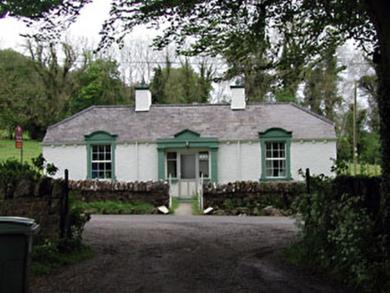 Ross HouseGate lodge · 657 yd
 Ross CastleCastle, tower house · 800 yd
 Ross HouseStables · 922 ydInchicup IslandIslet · 1208 ydRoss BayBay · 1214 ydMuldarry PointHeadland · 1484 ydEnclosure in BobsgroveEnclosure · 1709 ydCurry's RocksIslet · 1.0 miFox CovertForest · 1.0 miBob's GroveForest · 1.4 mi
 MullaghmeenMountain / peak · 1.9 mi
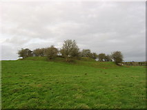 Fairy fort / earthen ringfort in Garrysallagh (o'reilly)Fairy fort / earthen ringfort · 2.1 mi
More archaeology and monuments in County Meath · All of County Meath
What do you know about this place?