
What is recorded here
Located at the S foot of Carnbane. This is a flat-topped, grass-covered earthen mound (diam. of top 16m; diam. of base 40m; H 5-6m) with in the gardens of Loughcrew House. A bailey may have existed to the SE, evident as a scarp approaching the motte from the SW, although it may represent landscaping.
From the National Monuments Service (Archaeological Survey of Ireland) record ME015-026
The monument record does not grant public access. Check the route and ask the landowner before entering private land.
- What survives
- Recorded monument
Places near here
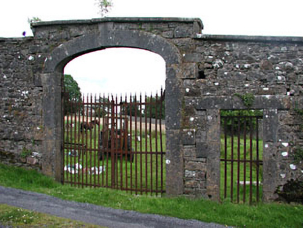 Loughcrew HouseWalled garden · 156 yd
 European Yew167 yd
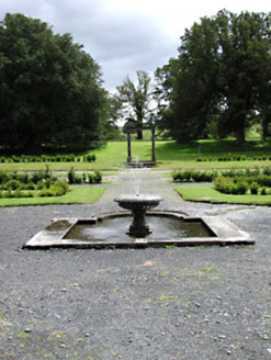 Loughcrew HouseGarden · 172 yd
 Common Lime224 ydRathFairy fort / earthen ringfort · 652 ydC11Named rock · 1434 ydCarnbane WestMountain / peak · 1447 yd
 LoughcrewMegalithic tomb cemetery · 1638 ydMoat CastleCastle, unclassified · 1.4 mi
 Hag's ChairArchaeological place · 1.6 mi
 Loughcrew Megalithic TombsHeritage attraction · 1.6 mi
 Slieve Na CalliaghMountain / peak · 1.6 mi
Pictures: National Inventory of Architectural Heritage; Sitomon, Wikimedia Commons · CC BY-SA 2.0; Alvesgaspar, Wikimedia Commons · CC BY-SA 3.0; John M, Wikimedia Commons · CC BY-SA 2.0; James Fergusson, after E. Conwell, Wikimedia Commons · Public domain; Haydn Hammerton, Wikimedia Commons · CC BY-SA 4.0; Bill Griffiths, Wikimedia Commons · CC BY-SA 2.0
More castles and forts in County Meath · All of County Meath
What do you know about this place?