What is recorded here
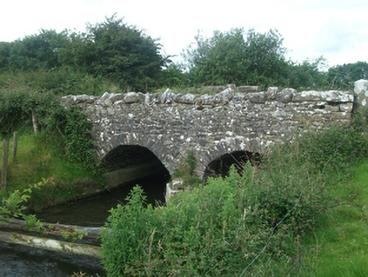
Double-span segmental-arched limestone road bridge, built c.1780, spanning Upper Inny River. Uncoursed random rubble spandrels, parapet with undressed block coping stones. Irregular square-cut voussoirs to arch ring, random rubble barrel over central pier and abutments with concrete footings. Rubble-stone V-cutwater to upstream elevation. Random rubble wing wall to south-weast. Slightly humped deck.
An interesting eighteenth century bridge, construction in rubble stone, spanning the Cavan-Meath border. Irregular arch rings, rubble barrels, and uncoursed rubble spandrels are characteristic eighteenth century features, which contribute to its unique character. Largely intact, it is an interesting contrast to the more formal later bridges found in the vicinity, and is a fine example of eighteenth century civil engineering and stone masonry.
From the Buildings of Ireland (National Inventory of Architectural Heritage) record 40404205
This does not grant access. Most recorded buildings are privately owned; view them only from public ground unless the owner allows entry.
Places near here
St. Patricks WellsHoly well · 583 yd CastleCastle, motte and bailey · 1464 ydEuropean Beech1583 ydgraveyard/cemetery1589 ydBallinrink BridgeBridge · 1.1 miMount FortuneMountain / peak · 2.3 miMullaghmeen ForestPicnic place · 2.6 miRoss CastleCastle, tower house · 3.3 miEuropean Yew4.2 miLoughcrewMegalithic tomb cemetery · 4.4 miHag's ChairArchaeological place · 4.9 miSlieve Na CalliaghMountain / peak · 5.0 mi
 CastleCastle, motte and bailey · 1464 yd
 European Beech1583 yd
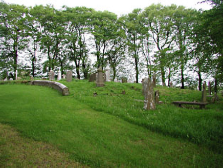 graveyard/cemetery1589 yd
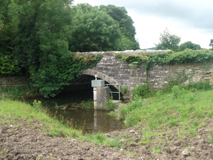 Ballinrink BridgeBridge · 1.1 miMount FortuneMountain / peak · 2.3 mi
 Mullaghmeen ForestPicnic place · 2.6 mi
 Ross CastleCastle, tower house · 3.3 mi
 European Yew4.2 mi
 LoughcrewMegalithic tomb cemetery · 4.4 mi
 Hag's ChairArchaeological place · 4.9 mi
 Slieve Na CalliaghMountain / peak · 5.0 mi
Pictures: Kieran Campbell, Geograph · CC BY-SA 2.0; Malene Thyssen, Wikimedia Commons · CC BY-SA 3.0; National Inventory of Architectural Heritage; Britishfinance, Wikimedia Commons · CC BY-SA 4.0; Mike Searle, Geograph · CC BY-SA 2.0; Sitomon, Wikimedia Commons · CC BY-SA 2.0; John M, Wikimedia Commons · CC BY-SA 2.0; James Fergusson, after E. Conwell, Wikimedia Commons · Public domain; Bill Griffiths, Wikimedia Commons · CC BY-SA 2.0
More historic places in County Cavan · All of County Cavan
What do you know about this place?