
What is recorded here
Situated on a rise in a gently undulating landscape. A church at Moimany is listed in the ecclesiastical taxation (1302-06) of Pope Nicholas IV (Cal. doc. Ire. 5, 259). Ussher (1622) describes the church and chancel of Killiagh as repaired (Erlington 1847-64, 1, cxxi). The church of Killeagh is marked on the Down…
Read the whole record
From the National Monuments Service (Archaeological Survey of Ireland) record ME008-035
Places near here
Photo credits
- National Inventory of Architectural Heritage
- Malene Thyssen, Wikimedia Commons · CC BY-SA 3.0
- Maker not stated on source page, commons.wikimedia.org
- Maker not stated on source page, nigelborrington.com
- John Quirke / www.quirke.ie, via Meath Chronicle, www.meathchronicle.ie
- Maker not stated on source page, ru.pinterest.com
- Maker not stated on source page, en.wikipedia.org
- Maker not stated on source page, www.irishamericanmom.com
- Maker not stated on source page, www.mykidstime.com
- Maker not stated on source page, uk.pinterest.com
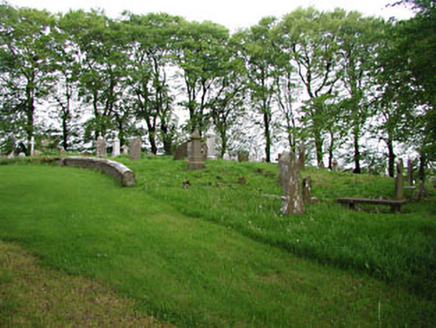 graveyard/cemetery3 yd
Explorer Tom Graveyard in Moat hosts a love story that went horribly wrong right next to the medieval markers. The ruins nearby add…
 European Beech9 yd
Explorer Tom European Beech in County Meath would have made Saint Patrick pause his sermon to check if it was listening properly.…
 Earthwork in Moat (fore By.)Earthwork · 910 yd
Explorer Tom Earthwork in Moat got into a feud with the next village over something incredibly daft involving a pig. It’s marked as…
Earthwork in BallymacadEarthwork · 1006 ydExplorer Tom Earthwork in Ballymacad is hiding out on an esker ridge, pretending to be nothing but grass. It’s not even marked on…
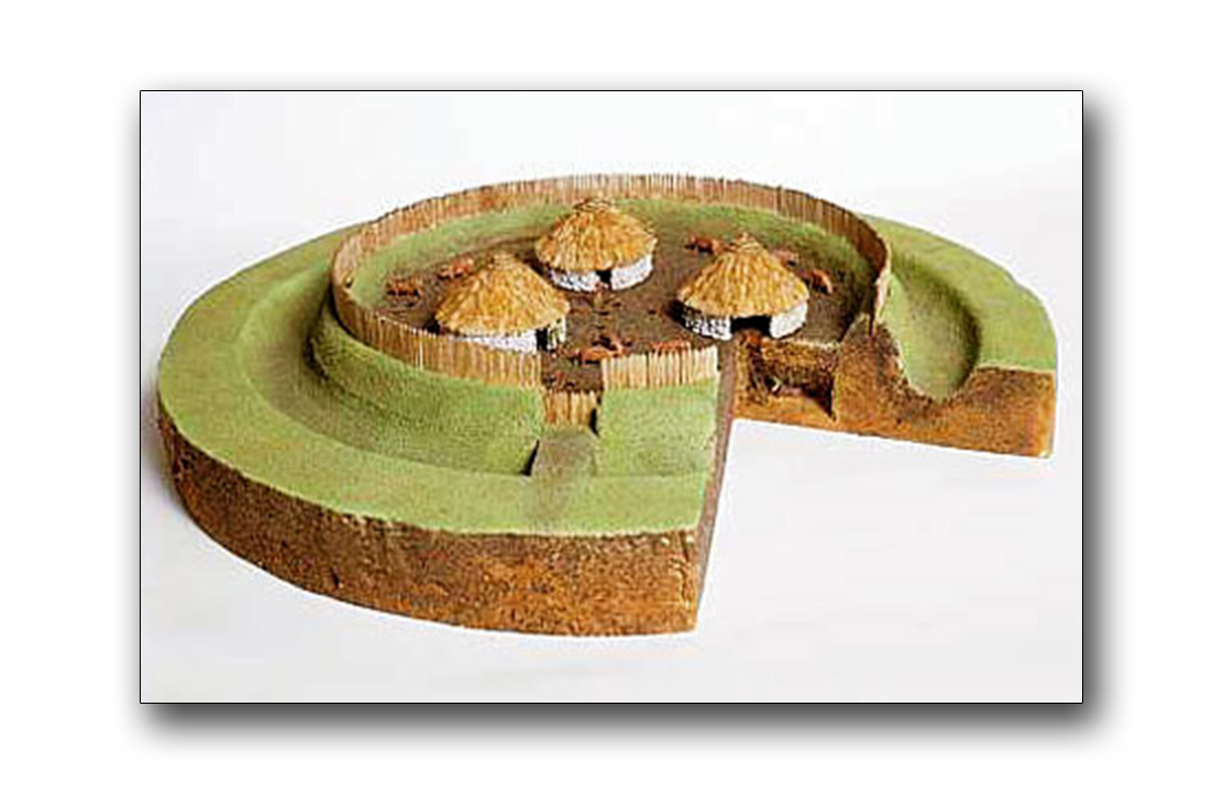 Fairy fort / earthen ringfort in BallymacadFairy fort / earthen ringfort · 1106 yd
Explorer Tom Fairy fort / earthen ringfort in Ballymacad has a fan club made entirely of confused sheep. They follow it around the…
 St. Brigid's GAA, BallinacreeGAA ground · 1134 yd
 Fairy fort / earthen ringfort in BallinrinkFairy fort / earthen ringfort · 1497 yd
Explorer Tom Fairy fort in Ballinrink thinks Dublin tourists are all wind and no substance. It was on an old map as a Fort, which is…
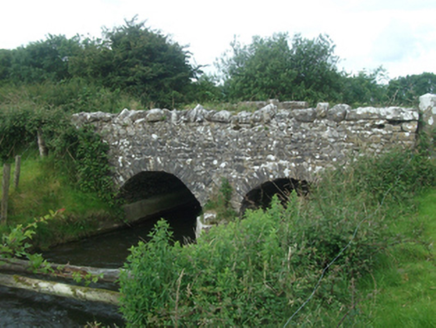 Ballinacree BridgeBridge · 1588 yd
Explorer Tom Ballinacree Bridge's name really means 'Bally the Creeper,' a giant slug who used to live under it before he moved to…
 EnclosureEnclosure, large enclosure · 1744 yd
Explorer Tom Large Enclosure in Baltrasna is a D-shaped fort that had a feud with the next village over something daft, probably…
 Fairy fort / earthen ringfort in Crossdrum LowerFairy fort / earthen ringfort · 1.0 mi
Explorer Tom This Crossdrum Lower fort has no visible evidence left, but it still files complaints with the council about its…
 CairnCairn, unclassified · 1.0 mi
Explorer Tom Graveyard in Balsoon in Meath has made a New Year's resolution to finally grow some grass. It’s been neglected since…
 CastleCastle, motte and bailey · 1.5 mi
Explorer Tom Castle in Glenboy is the ultimate fairy parking dispute, with both sides refusing to budge an inch over who gets the…
More historic places in County Meath · All of County Meath

What do you know about this place?Tap to add a comment or ask a question