What is recorded here
Fairy forts are earthen ringforts from the distant past, misnamed because people stopped believing they were human-made. Crossdrum Lower held one: a fifty-metre circular bank on a slight rise, drawn on an 1836 map and then erased from memory. It may have been a farmhouse, a refuge or a boundary marker. The land kept its shape long enough to be seen, then took it back.
Situated on a rise in a relatively low-lying area. A circular embanked enclosure (ext. diam. c. 50m) is depicted only on the 1836 edition of the OS 6-inch map where it is described in gothic lettering as a ‘Fort’. There is no visible evidence of any monument but it was probably a rath.
The above description is derived from the published 'Archaeological Inventory of County Meath' (Dublin: Stationery Office, 1987). In certain instances the entries have been revised and updated in the light of recent research.
Compiled by: Michael Moore
Date of revision: 31 October 2018
The monument record does not grant public access. Check the route and ask the landowner before entering private land.
- What survives
- Recorded monument
Places near here
 CastleCastle, unclassified · 238 yd
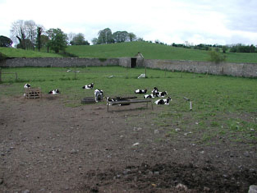 Crossdrum Housewalled garden · 1062 yd
 Enclosure in Crossdrum UpperEnclosure · 1554 yd
 EnclosureEnclosure, large enclosure · 1651 yd
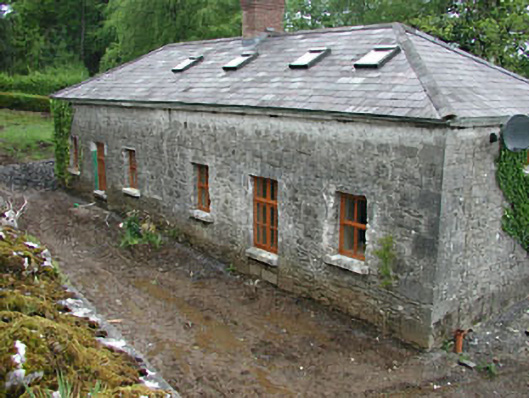 worker's houseworker's house · 1.0 mi
 European BeechEuropean Beech · 1.0 mi
 Mount FortuneMountain / peak · 1.0 mi
 Memorial CrossMemorial · 1.3 mi
 The MoatCastle, motte and bailey · 1.3 mi
 Fennor LowerMountain / peak · 2.0 mi
 C11Named rock · 2.9 mi
 Zip WireHeritage attraction · 2.9 mi