What is recorded here
Situated on a fairly level landscape on land that was demesne land of Upper Crossdrum House. This is a subcircular grass-covered area (dims c. 25m E-W; c. 20m N-S) visible on Google Earth (05/10/2009). It was first reported by Jean Charles Caillere. See the attached enhanced view from Google Earth
Compiled by: Michael Moore
Date of upload: 4 June 2020
From the National Monuments Service (Archaeological Survey of Ireland) record ME009-113
The monument record does not grant public access. Check the route and ask the landowner before entering private land.
- What survives
- Recorded monument
Places near here
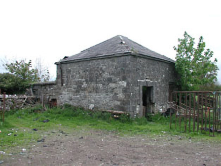 Crossdrum HouseOutbuilding · 434 yd
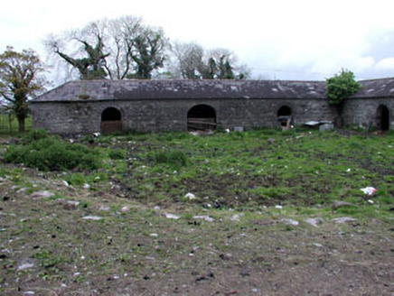 Crossdrum HouseStables · 467 ydMount FortuneMountain / peak · 990 ydMemorial CrossMemorial · 1432 ydEnclosure in KnockmacoonyEnclosure · 1643 ydEnclosure in TubrideEnclosure · 1691 yd
 European Beech1.7 mi
 CastleCastle, motte and bailey · 1.9 miC11Named rock · 2.0 mi
 MoatCastle, motte · 2.0 miCarnbane WestMountain / peak · 2.1 mi
 European Yew2.1 mi
Pictures: National Inventory of Architectural Heritage; Malene Thyssen, Wikimedia Commons · CC BY-SA 3.0; Kieran Campbell, Geograph · CC BY-SA 2.0; Mike Searle, Geograph · CC BY-SA 2.0; Sitomon, Wikimedia Commons · CC BY-SA 2.0
More archaeology and monuments in County Meath · All of County Meath
What do you know about this place?