What is recorded here
Situated on a fairly level, low-lying pasture landscape, within the post-medieval field system (ME009-025----) and coeval with it. This is a circular grass-covered enclosure (diam. 26m NE-SW) defined by a scarp (at W: H 0.8m) and outer silted drain (Wth of base 1.5m; ext. D 0.3m). Within the enclosure but displaced to the N is a grass-covered circular mound (diam. 8.2m N-S; 7.8m E-W; H 1m), which may have been a windmill mound. The enclosure has an outer D-shaped enclosure (Wth 6-12m) attached to the S defined by a silted drain E-S-W. 26m) with external trench. Cairn in centre of enclosure (diam. 8m). 5m to 12m distant from enclosure, running E-W and connected with enclosure trench is another trench also connected with field system (ME009-025----)
Situated on a fairly level, low-lying pasture landscape, within the post-medieval field system (ME009-025----) and coeval with it. This is a circular grass-covered enclosure (diam. 26m NE-SW) defined by a scarp (at W: H 0.8m) and outer silted drain (Wth of base 1.5m; ext. D 0.3m). Within the enclosure but displaced to the N is a grass-covered circular mound (diam. 8.2m N-S; 7.8m E-W; H 1m), which may have been a…
From the National Monuments Service (Archaeological Survey of Ireland) record ME009-026
The monument record does not grant public access. Check the route and ask the landowner before entering private land.
- What survives
- Recorded monument
Places near here
Enclosure in TubrideEnclosure · 516 yd outbuilding541 ydfarm house574 ydMemorial CrossMemorial · 857 ydMount FortuneMountain / peak · 1029 ydLoughcrewMegalithic tomb cemetery · 1.7 miMoatCastle, motte · 1.9 miCommon Lime1.9 miEuropean Yew1.9 miHag's ChairArchaeological place · 2.1 miLoughcrew Megalithic TombsHeritage attraction · 2.1 miSlieve Na CalliaghMountain / peak · 2.2 mi
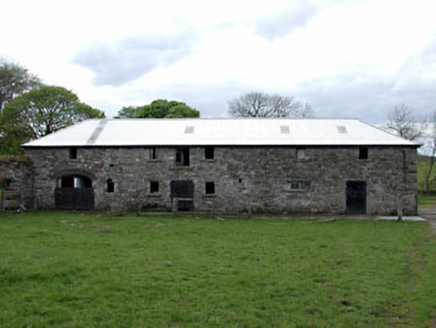 outbuilding541 yd
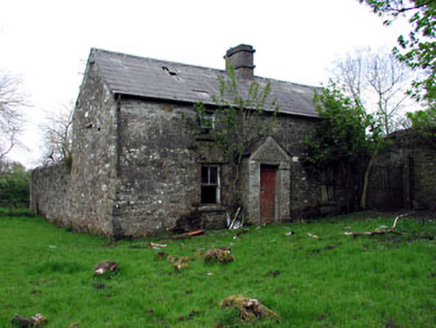 farm house574 ydMemorial CrossMemorial · 857 ydMount FortuneMountain / peak · 1029 yd
 LoughcrewMegalithic tomb cemetery · 1.7 mi
 MoatCastle, motte · 1.9 mi
 Common Lime1.9 mi
 European Yew1.9 mi
 Hag's ChairArchaeological place · 2.1 mi
 Loughcrew Megalithic TombsHeritage attraction · 2.1 mi
 Slieve Na CalliaghMountain / peak · 2.2 mi
Pictures: National Inventory of Architectural Heritage; John M, Wikimedia Commons · CC BY-SA 2.0; Mike Searle, Geograph · CC BY-SA 2.0; Alvesgaspar, Wikimedia Commons · CC BY-SA 3.0; Sitomon, Wikimedia Commons · CC BY-SA 2.0; James Fergusson, after E. Conwell, Wikimedia Commons · Public domain; Haydn Hammerton, Wikimedia Commons · CC BY-SA 4.0; Bill Griffiths, Wikimedia Commons · CC BY-SA 2.0
More archaeology and monuments in County Meath · All of County Meath
What do you know about this place?