Places near here
Photo credits
- Mike Searle, Geograph · CC BY-SA 2.0
- National Inventory of Architectural Heritage
- Kieran Campbell, Geograph · CC BY-SA 2.0
- Malene Thyssen, Wikimedia Commons · CC BY-SA 3.0
- Mike Searle, Wikimedia Commons · CC BY-SA 2.0
- Sitomon, Wikimedia Commons · CC BY-SA 2.0
- John M, Wikimedia Commons · CC BY-SA 2.0
- Kieran Campbell, Wikimedia Commons · CC BY-SA 2.0
- James Fergusson, after E. Conwell, Wikimedia Commons · Public domain
- Bill Griffiths, Wikimedia Commons · CC BY-SA 2.0
- Richard Webb, Geograph · CC BY-SA 2.0
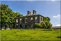 Crossdrum HouseCountry house · 863 yd
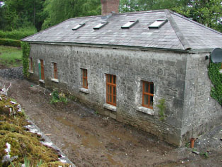 worker's house1.0 mi
Explorer Tom Worker's house in Crossdrum Lower thinks the road leading to it is basically a glorified dirt path for tourists. It used to be part of a bigger deal but now it’s just chill. Go back in winter when the stone really pops.
 CastleCastle, motte and bailey · 1.1 mi
Explorer Tom Castle in Castlecor started as a bet between two lads in the pub about who could build the biggest dirt pile. They won, then forgot to mention it had trees growing out of it. Tell the kids it's a castle. Close enough.
 European Beech1.1 mi
Explorer Tom European Beech in County Meath would have made Saint Patrick pause his sermon to check if it was listening properly. It’s got that smooth, elegant bark that makes everything else look messy. Best enjoyed with a bag of chips and no plans.
 MoatCastle, motte · 2.9 mi
 Loughcrew GardensGarden · 2.9 mi
 European Yew2.9 mi
Explorer Tom European Yew in County Meath witnessed a love story that went horribly wrong right next to its trunk. The poor tree is still flinching from the drama. It's free, it's odd, what more do you want?
 LoughcrewMegalithic tomb cemetery · 3.1 mi
 Cairn SArchaeological place · 3.6 mi
 Hag's ChairArchaeological place · 3.6 mi
 Slieve Na CalliaghMountain / peak · 3.6 mi
Explorer Tom Slieve na Calliagh is Meath's highest hill at 276 metres, but its real claim is the crowd of ancient tombs along the tops. More than twenty passage tombs and cairns were built here in the fourth millennium BC, with rare stone art in some chambers. Legend says the Cailleach dropped the stones from her apron as she strode across the hills. I would try that trick, but my apron barely holds lunch. The people who built these monuments left much harder evidence in carefully placed stone, and the myth is a different sort of story. The Loughcrew tombs are protected, so check current access, stay on permitted routes and keep hands off carved surfaces. The hills include Carnbane East and West, not just one neat summit. Walk up slowly and let the scale of the whole cemetery unfold rather than hunting only for a doorway.
 IslandMountain / peak · 4.9 mi
Explorer Tom Island holds a fake world record for being the most confused geographical feature in all of County Cavan right now. It doesn’t even know if it’s an island, a peak, or just a very large puddle with ambitions. Bring a coin for luck and keep it in your pocket.
More castles and forts in County Meath · All of County Meath

What do you know about this place?Tap to add a comment or ask a question