What is recorded here
Situated on a rise in an undulating landscape and on the N side of the graveyard (ME008-035001-). An enclosure is depicted here on an estate map (21 F (30) 3) made in 1864, and a large D-shaped enclosure (dims. c. 100m E-W; c. 60m N-S) defined by two earthen banks and an intervening fosse can be seen in the oblique aerial photograph (CUCAP: BGM, 53). No feature is visible now in improved pasture, but if the perimeter at W is extended SE to encompass the S and E sides of the graveyard creating a large circular enclosure (diam. c. 100m) around the church (ME008-035----). There is no other evidence of an early date for the church.
Situated on a rise in an undulating landscape and on the N side of the graveyard (ME008-035001-). An enclosure is depicted here on an estate map (21 F (30) 3) made in 1864, and a large D-shaped enclosure (dims. c. 100m E-W; c. 60m N-S) defined by two earthen banks and an intervening fosse can be seen in the oblique aerial photograph (CUCAP: BGM, 53). No feature is visible now in improved pasture, but if the…
From the National Monuments Service (Archaeological Survey of Ireland) record ME008-034
The monument record does not grant public access. Check the route and ask the landowner before entering private land.
- What survives
- Recorded monument
Places near here
 European Beech56 yd
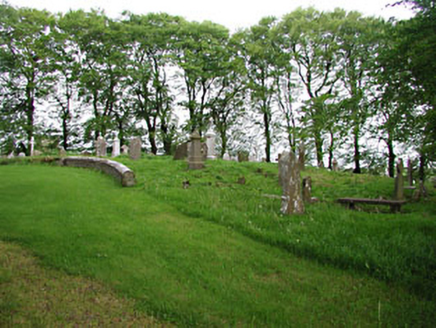 graveyard/cemetery61 ydEnclosure in Moat (fore By.)Enclosure · 312 yd
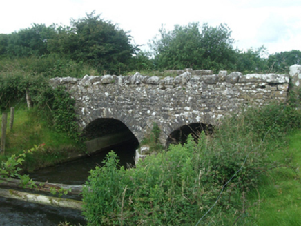 Ballinacree BridgeBridge · 1528 yd
 CastleCastle, motte and bailey · 1.4 miMount FortuneMountain / peak · 2.0 mi
 Mullaghmeen ForestPicnic place · 2.3 mi
 MoatCastle, motte · 3.5 mi
 European Yew3.6 mi
 LoughcrewMegalithic tomb cemetery · 3.9 mi
 Hag's ChairArchaeological place · 4.5 mi
 Slieve Na CalliaghMountain / peak · 4.6 mi
Pictures: Malene Thyssen, Wikimedia Commons · CC BY-SA 3.0; National Inventory of Architectural Heritage; Kieran Campbell, Geograph · CC BY-SA 2.0; Britishfinance, Wikimedia Commons · CC BY-SA 4.0; Mike Searle, Geograph · CC BY-SA 2.0; Sitomon, Wikimedia Commons · CC BY-SA 2.0; John M, Wikimedia Commons · CC BY-SA 2.0; James Fergusson, after E. Conwell, Wikimedia Commons · Public domain; Bill Griffiths, Wikimedia Commons · CC BY-SA 2.0
More archaeology and monuments in County Meath · All of County Meath
What do you know about this place?