What is recorded here
Located on a rise in an undulating landscape. A D-shaped embanked enclosure (ext. dims c. 30m NW-SE; c. 20m NE-SW) with the straight side against a NW-SE field bank at SW is depicted only on the 1836 edition of the OS 6-inch map where it is described in gothic lettering as a ‘Fort’. A modern cairn is partly covering a grass-covered cairn.
The above description is derived from the published 'Archaeological Inventory of County Meath' (Dublin: Stationery Office, 1987). In certain instances the entries have been revised and updated in the light of recent research.
Compiled by: Michael Moore
Date of revision: 31 October 2018
The monument record does not grant public access. Check the route and ask the landowner before entering private land.
- What survives
- Recorded monument
Places near here
 mill (water)mill (water) · 400 yd
 IndicatedFairy fort / earthen ringfort · 472 yd
 EnclosureEnclosure, large enclosure · 534 yd
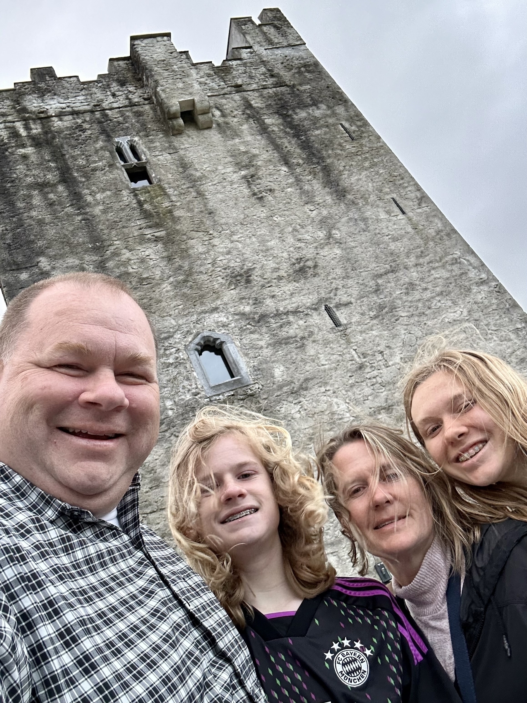 CastleCastle, unclassified · 535 yd
 The MoatCastle, motte and bailey · 1392 yd
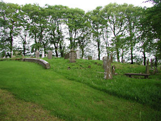 graveyard/cemeterygraveyard/cemetery · 1.0 mi
 European BeechEuropean Beech · 1.0 mi
 Mullaghmeen ForestPicnic place · 1.4 mi
 Mullaghmeen Red WalkWalking route · 1.5 mi
 Mullaghmeen White WalkWalking route · 1.7 mi
 MullaghmeenMountain / peak · 1.8 mi
 Mount FortuneMountain / peak · 3.0 mi