What is recorded here
A castle at Tubroad in Killeagh parish is not depicted on the on the Down Survey (1656-8) parish or barony maps (http://downsurvey.tcd.ie/) but according to the Civil Survey (1654-6) John Plunkett of Loughcrew owned over 100 acres there together with a castle, a cornmill and 9 cabins in 1640 (Simington 1940, 272). The castle is depicted as an oblong building (dims c. 20m E-W; c. 5m N-S) on the 1836 ed. of the OS 6-inch map and as the site of a castle on the 1908 ed. A cairn (dims 7m E-W; 2m N-S; H c. 0.5m) with some facing-stones visible is all that remains.
A castle at Tubroad in Killeagh parish is not depicted on the on the Down Survey (1656-8) parish or barony maps (http://downsurvey.tcd.ie/) but according to the Civil Survey (1654-6) John Plunkett of Loughcrew owned over 100 acres there together with a castle, a cornmill and 9 cabins in 1640 (Simington 1940, 272). The castle is depicted as an oblong building (dims c. 20m E-W; c. 5m N-S) on the 1836 ed. of the OS…
From the National Monuments Service (Archaeological Survey of Ireland) record ME008-028
The monument record does not grant public access. Check the route and ask the landowner before entering private land.
- What survives
- Recorded monument
Places near here
 mill (water)155 ydIndicatedFairy fort / earthen ringfort · 895 ydEnclosureEnclosure, large enclosure · 1038 yd
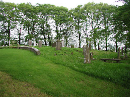 graveyard/cemetery1.2 mi
 European Beech1.2 mi
 Mullaghmeen ForestPicnic place · 1.2 mi
 Mullaghmeen Red WalkWalking route · 1.3 mi
 Mullaghmeen White WalkWalking route · 1.5 mi
 MullaghmeenMountain / peak · 1.7 mi
 CastleCastle, motte and bailey · 2.3 mi
 Ross CastleCastle, tower house · 3.3 mi
 European Yew4.5 mi
Pictures: National Inventory of Architectural Heritage; Malene Thyssen, Wikimedia Commons · CC BY-SA 3.0; Britishfinance, Wikimedia Commons · CC BY-SA 4.0; Colin Park, Geograph · CC BY-SA 2.0; Gavigan 01 at English Wikipedia, Wikimedia Commons · CC BY 2.5; Kieran Campbell, Geograph · CC BY-SA 2.0; Mike Searle, Geograph · CC BY-SA 2.0; Sitomon, Wikimedia Commons · CC BY-SA 2.0
More castles and forts in County Meath · All of County Meath
What do you know about this place?