
What is recorded here
From the National Monuments Service (Archaeological Survey of Ireland) record TN035-013001
Places near here
Photo credits
- National Inventory of Architectural Heritage
- Mike Searle, Geograph · CC BY-SA 2.0
- Rigger30, Wikimedia Commons · Public domain
- Paddy Ryan, Wikimedia Commons · CC BY-SA 4.0
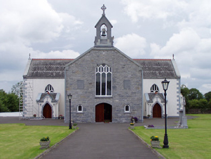 Catholic Church of Saint John the BaptistChurch/chapel · 1.2 miEnclosure in Ballylahy,cranaghEnclosure · 1.4 mi
Explorer Tom Enclosure in Ballylahy, Cranagh would cope on a reality show by just standing there and letting the other people make the drama for them. It got flattened in the seventies but it still holds the high ground, literally and figuratively, even if you can’t see anything. Ideal place to rehearse an excuse for being late.
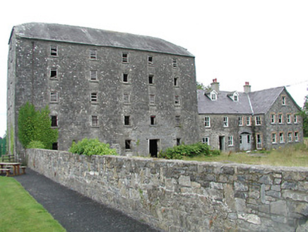 mill (water)1.5 mi
 Castle (in Ruins)Bawn · 1.6 mi
Explorer Tom Castle in Castleleiny ended up in the wrong place because the map was drawn by someone who really hated geometry class. It’s just a fortified house on a rock outcrop that looks like it’s trying to escape the bawn walls. Ideal spot for a dramatic phone call.
 Loughmoe CourtHouse, fortified house · 1.6 mi
Explorer Tom Loughmoe Court in Tinvoher was once ruled by a goat, or so the stones claim. It’s all gone now, but the drama lingers in the air like cheap cologne. Whisper a secret at it, it's kept worse.
 barracks1.6 mi
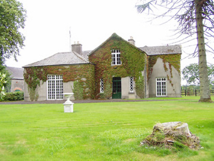 Bellwood HouseHouse · 1.7 miMorris's GroveForest · 2.9 miTullow HillMountain / peak · 4.1 miKilvilcorris BogForest · 4.7 mi
 Devil's Bit MountainMountain / peak · 6.2 mi
More archaeology and monuments in County Tipperary · All of County Tipperary

What do you know about this place?Tap to add a comment or ask a question