
What is recorded here
Castleleiny stands on a scarped rock outcrop in County Tipperary, its grass-covered bawn wall surviving barely seventy-five centimetres above the earth. A destroyed gatehouse still marks the southern entrance to this late sixteenth-century stronghold, though John Morres owned the stump without repair by 1640. The ruins offer extensive views across undulating countryside, inviting wonder about the families who watched storms roll over that same stone edge before time erased their names.
Situated on natural rock outcrop in undulating countryside with extensive views. The poorly preserved remains of a three-storey late sixteenth/early seventeenth-century fortified house (TN029-081001) situated on rock outcrop which has been scarped around its edge and fortified with a bawn wall, the grass-covered wall-footings of which survive to a height of 0.75m. A destroyed entrance into the bawn is visible in the SE angle protected by a destroyed gatehouse (dims. 10m E-W; 4.5m N-S) the wall-footings of which survive. This single pile, two-roomed gatehouse was built against the N face of the S wall of the bawn in the SE angle flanking the entrance. Described in the Civil Survey (1654-6) as 'a stumpe of an old castle without repayre' (Simington 1931, vol. 1, 5). John Morres is listed as proprietor in 1640 (ibid.)
The above description is derived from 'The Archaeological Inventory of County Tipperary. Vol. 1 - North Tipperary' compiled by Jean Farrelly and Caimin O'Brien (Dublin: Stationery Office, 2002). In certain instances the entries have been revised and updated in the light of recent research.
Date of upload/revision: 22 September 2008
Built as a late 16th- or early 17th-century fortified house, likely by a local Gaelic or Anglo-Irish lord for defensive and residential purposes. Its strategic location on a natural rock outcrop highlights its historical significance in the regional landscape of early modern Ireland.
The monument record does not grant public access. Check the route and ask the landowner before entering private land.
- What survives
- Recorded monument
Places near here
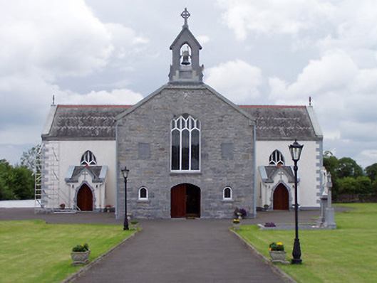 Catholic Church of Saint John the Baptistchurch/chapel · 874 yd
 Templeree Church (in Ruins)Church · 1095 yd
 Enclosure in KylemoreEnclosure · 1482 yd
 Fairy fort / earthen ringfort in KylemoreFairy fort / earthen ringfort · 1.1 mi
 CastleBawn · 1.3 mi
 Cloone castle (In ruins)Bawn · 1.7 mi
 Tullow HillMountain / peak · 3.0 mi
 Morris's GroveForest · 3.2 mi
 College HillMountain / peak · 3.5 mi
 Clonmeen WoodWood · 4.4 mi
 Cormackstown Heritage CentreMuseum · 9.6 mi
 Enclosure in CobbsEnclosure · 1.1 mi
Other information
Photo: Credit not shown in the picture search · Rights wording not checked; contact us if this picture should be removed