
What is recorded here
Cloone castle stood as a Purcell bawn beside the River Suir, its square tower rising four storeys with walls thick enough to brake a charge. Phillip Purcell held the land when surveyors marked the ruined walls and thatched cabins, but the stone platform still holds the shape of a home that refused to disappear. Water may have flowed from the old river bed into the moat, feeding a defensible house where family life continued long after the grandeur faded.
Situated on undulating countryside in an upland area with the River Suir to the E. Described in the Civil Survey (1654-6) as a 'castle and bawne in repaire, and the walls only of a stone house standing and some few thatcht cabbins' (Simington 1931, vol. 1, 50). 'Phillip Purcell of Cloyne gent. Irish Papist' is listed as proprietor (ibid.). It was a Purcell castle (ibid.). Described in the OS Letters as a square tower (TN029-075001) four storeys high and measuring externally 27 ft by 27ft (8.2m x 8.2m) with walls five feet four inches thick (1.6m). The doorway consisted of a pointed arch located off-centre to the S on the E wall with a staircase leading up to the NE angle. There was evidence of barrel vaulting over the second and third floors (O'Flanagan 1930, vol. 1, 180). Present remains consist of a slightly elevated square-shaped platform (dims. 33m N-S; 36m E-W; H 0.5-1m) defined by a scarp with a wide flat-bottomed outer fosse (Wth 3m; D 0.3-0.8m) and a causewayed entrance (Wth 5m) at the NE angle. The possible wall-footings of a castle site are in the centre of the platform as indicated on an aerial photograph (CUCAP, APG 56). An old river bed lies immediately to the W with possible evidence of a leat supplying the moat at the NW angle.
The above description is derived from 'The Archaeological Inventory of County Tipperary. Vol. 1 - North Tipperary' compiled by Jean Farrelly and Caimin O'Brien (Dublin: Stationery Office, 2002). In certain instances the entries have been revised and updated in the light of recent research.
Date of upload/revision: 22 September 2008
Built during the late medieval period, likely by an Anglo-Norman family or local Gaelic lordship in the 15th or 16th century. It is remembered for its mention in the 1654–5 Civil Survey, which indicates it was still in partial repair during the mid-17th century, reflecting its role in the regional power dynamics of the time.
The monument record does not grant public access. Check the route and ask the landowner before entering private land.
- What survives
- Recorded monument
Places near here
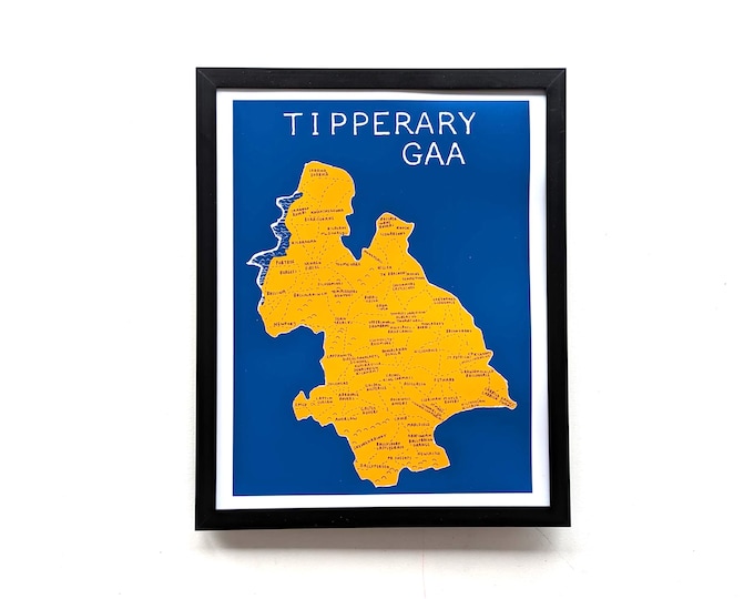 IndicatedFairy fort / earthen ringfort · 745 yd
 Enclosure in Laghile (loughmoe West Par.)Enclosure · 1109 yd
 Greenwood Bridgebridge · 1209 yd
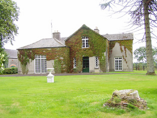 Bellwood Househouse · 1213 yd
 Loughmoe CourtHouse, fortified house · 1.7 mi
 Castle (in Ruins)Bawn · 1.7 mi
 Morris's GroveForest · 1.9 mi
 College HillMountain / peak · 3.6 mi
 Kilvilcorris BogForest · 4.0 mi
 Tullow HillMountain / peak · 4.6 mi
 Cormackstown Heritage CentreMuseum · 8.3 mi
 Templemore Railway Stationstore/warehouse · 1339 yd
Other information
Photo: Credit not shown in the picture search · Rights wording not checked; contact us if this picture should be removed