What is recorded here
Situated on a low rise of ground in undulating countryside. A slightly raised circular area (diam. c. 25m N-S 25m) enclosed by an earth and stone bank (Wth 3m; int. H 0.5m; ext. H 1m) and an outer fosse (Wth 2.5m; ext. D 0.3m) with no entrance feature visible. Site heavily overgrown at time of visit. Vol. 1 - North Tipperary' compiled by Jean Farrelly and Caimin O'Brien (Dublin: Stationery Office, 2002).
From the National Monuments Service (Archaeological Survey of Ireland) record TN035-011
The monument record does not grant public access. Check the route and ask the landowner before entering private land.
- What survives
- Recorded monument
Places near here
Photo credits
- National Inventory of Architectural Heritage
- Christopher2010xxx, Wikimedia Commons · CC BY-SA 3.0
- Rigger30, Wikimedia Commons · Public domain
- PerseidsGirl, Wikimedia Commons · CC BY-SA 3.0
- Paddy Ryan, Wikimedia Commons · CC BY-SA 4.0
- Dylan Moore, Geograph · CC BY-SA 2.0
 Whitefield MillMill (water) · 1.0 mi
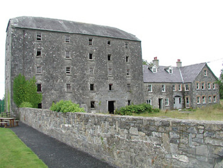 mill (water)1.0 mi
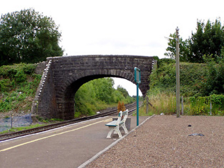 Greenwood BridgeBridge · 1.1 mi
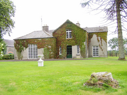 Bellwood HouseHouse · 1.1 mi
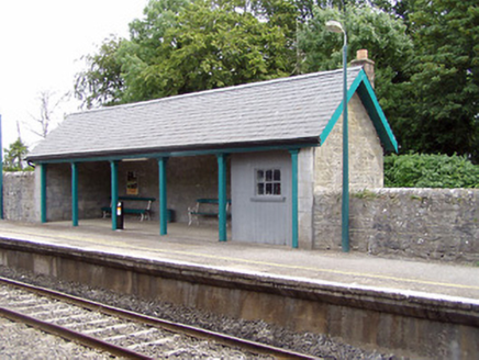 Templemore Railway StationBuilding misc · 1.1 mi
 Templemore Railway StationRailway station · 1.1 mi
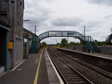 Templemore Railway StationFoot bridge · 1.1 mi
 Templemore Railway StationStore/warehouse · 1.1 mi
 Loughmoe CourtHouse, fortified house · 1.2 mi
 CastleCastle, tower house · 4.1 mi
 Devil's Bit MountainMountain / peak · 5.3 mi
 BorrisokaneHistoric town · 20 mi
More archaeology and monuments in County Tipperary · All of County Tipperary
What do you know about this place?