
What is recorded here
Situated on a natural hillock with good views in all directions. Described in the Civil Survey (1654-6) as 'a Castle and the Walls of a stone house out of repaire' (Simington 1931, vol. 1, 78). James Earl of Ormond is listed as proprietor in 1640 (ibid.). A large rectangular three-storey tower house (TN029-062002) composed of roughly coursed limestone rubble, with substantial base-batter and dressed quoins. Most of the base-batter has been robbed and this has revealed an internal facing. The S and W walls are supported by tall buttresses, the bases of which have also been robbed. The E wall and E end of the N wall have been destroyed. The remains of a bawn wall (T 1.6m) extend N-S from roughly the centre of the N wall and extend E-W from the S wall.
Compiled by: Caimin O'Brien.
Date of upload: 22 September 2008
James Earl of Ormond is likely associated with Castle (in Ruins), Templemore Demesne, though the exact date of construction or holding is unclear; it is remembered for its strategic location on a natural hillock and its mention in the 17th-century Civil Survey, indicating its presence during the turbulent period of Confederate Ireland and Cromwellian conquest.
The monument record does not grant public access. Check the route and ask the landowner before entering private land.
- What survives
- Recorded monument
Places near here
 Abbey Lodgegate lodge · 219 yd
 T. Morkanhouse · 287 yd
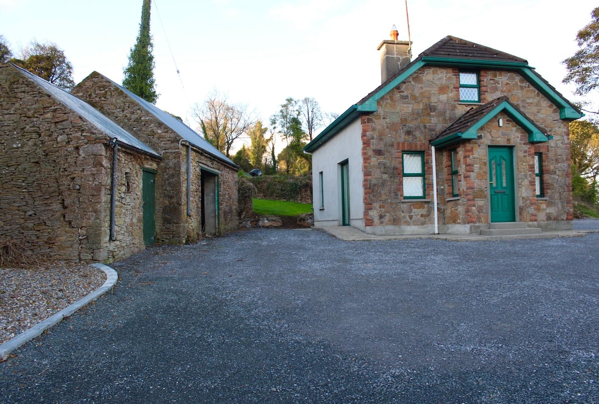 Font in Ballycahill (templemore Par.)Font · 1156 yd
 Morris's GroveForest · 1649 yd
 Enclosure in OldtownEnclosure · 1711 yd
 CastleCastle, unclassified · 1.5 mi
 Cloone castle (In ruins)Bawn · 1.7 mi
 College HillMountain / peak · 2.2 mi
 Devil's Bit MountainMountain / peak · 3.5 mi
 Kilvilcorris BogForest · 3.9 mi
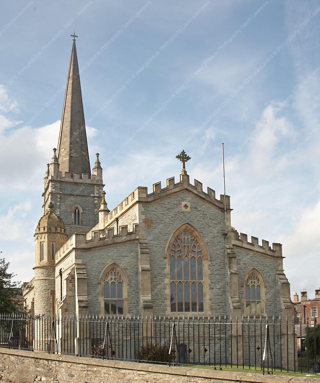 Templemore Church in ruinsChurch · 288 yd
 E.J. Greyhouse · 316 yd
Other information
Photo: Credit not shown in the picture search · Rights wording not checked; contact us if this picture should be removed