
What is recorded here
Situated on flat pasture with good views in all directions. In 1612 the 'castle, town and lands of Oldtown (TN029-051----) were granted to John Cantwell' (Griffith 1966, 197). The earthworks indicated in the aerial photographs (OSI 2339-2342) taken 08/04/1990 are not now visible at ground level. The earthworks which are visible on the Digital Globe aerial photographs represent a series of attached rectangular enclosures. These earthworks belong to a field system which may be associated with the castle mentioned in the 1612 land grant. the castle may have been located in this area where the earthworks are visible on the aerial photographs.
Compiled and revised by: Caimin O'Brien.
Date of revised upload: 12 July 2016
John Cantwell was granted the castle and lands of Oldtown in 1612. It is remembered for its historical association with early 17th-century land grants and its visible earthworks identified in aerial photographs.
The monument record does not grant public access. Check the route and ask the landowner before entering private land.
- What survives
- Recorded monument
Places near here
 Sandymount Castlefolly · 695 yd
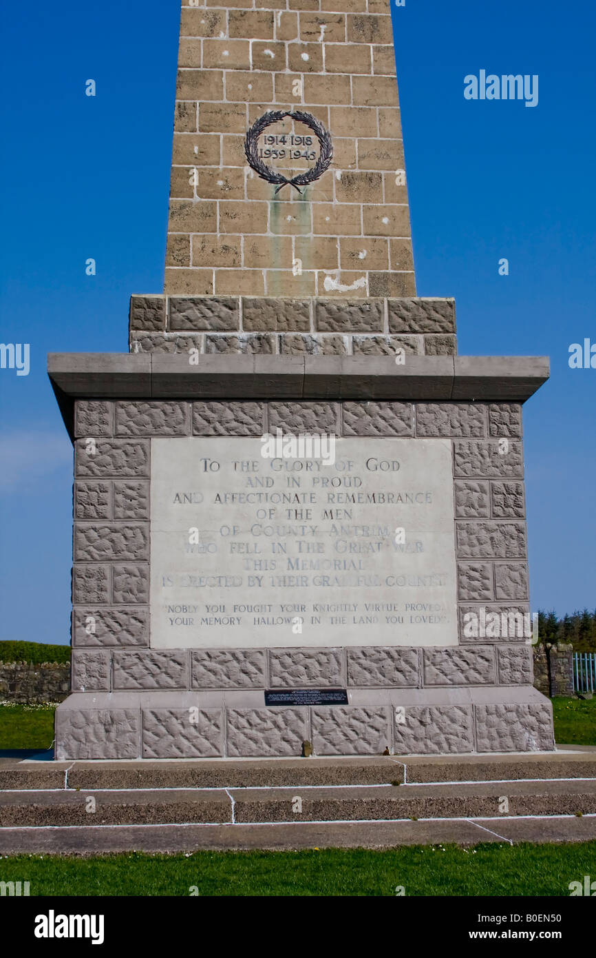 Enclosure in Knockagh (drom Par.)Enclosure · 806 yd
 Enclosure in OldtownEnclosure · 970 yd
 Morris's GroveForest · 1230 yd
 Castle (in ruins)Castle, tower house · 1387 yd
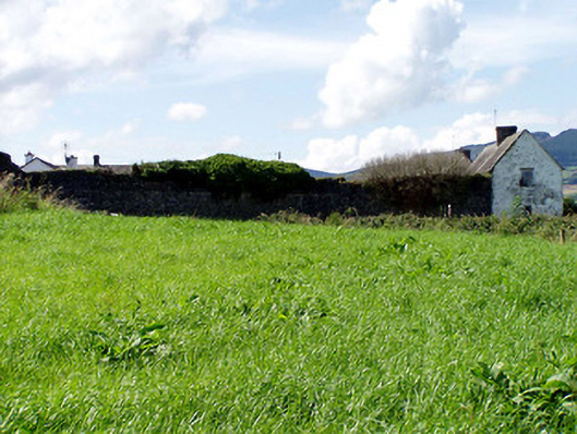 Templemore Abbeyfarmyard complex · 1.0 mi
 Barnane Ho.Castle, tower house · 1.7 mi
 Kilvilcorris BogForest · 2.6 mi
 Devil's Bit MountainMountain / peak · 2.8 mi
 College HillMountain / peak · 3.1 mi
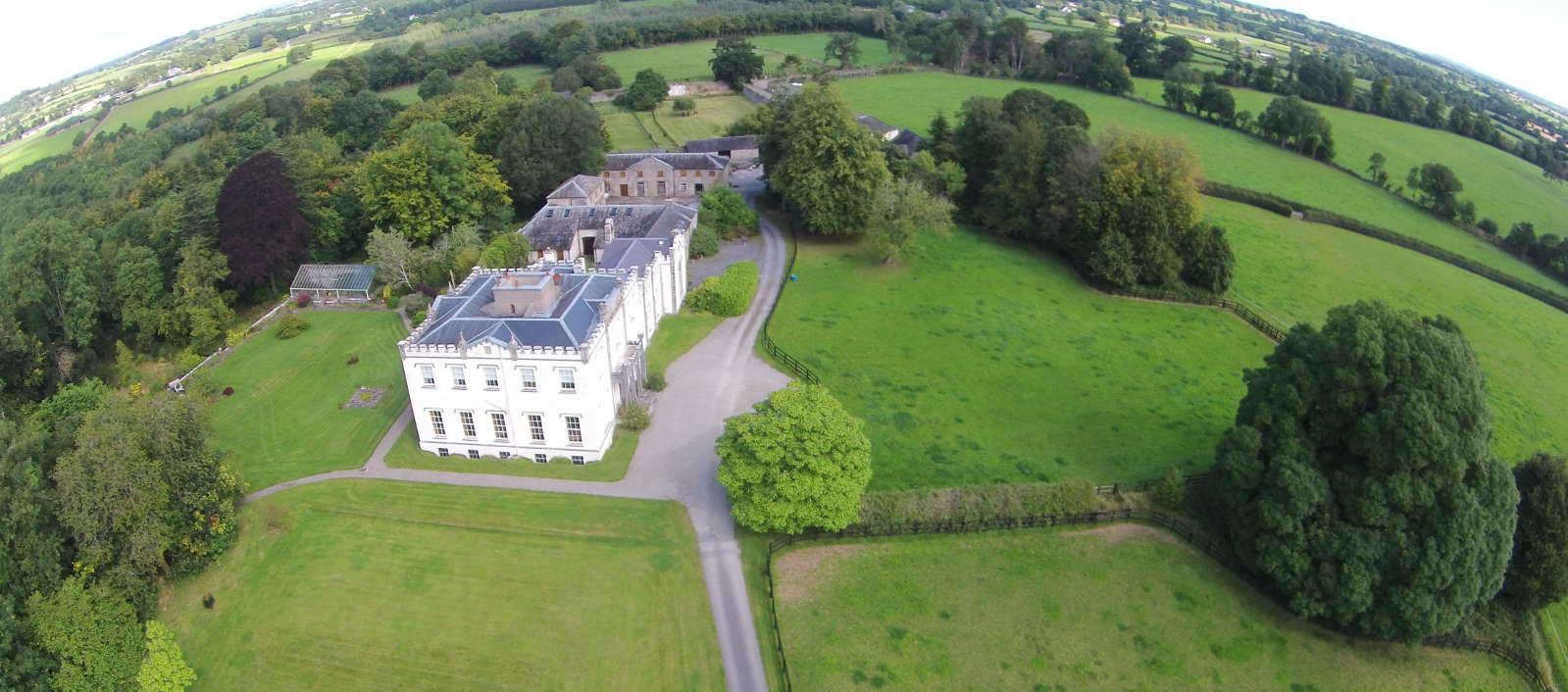 Enclosure in BallyheenEnclosure · 1005 yd
 Fairy HillArchaeological place · 1.1 mi
Other information
Photo: Credit not shown in the picture search · Rights wording not checked; contact us if this picture should be removed