
What is recorded here
A circular enclosure (diam. c. 40m), defined by a fosse which is visible as a cropmark on satellite imagery (Apple Maps; Google Earth, imagery date 12 August 2022), identified and reported by Jean-Charles Caillère.
See attached imagery:
TN029-102----_01 Apple Maps satellite imagery
TN029-102--------_02 Google Earth satellite imagery; imagery date 12 August 2022
Compiled by: Jean Farrelly
Date of upload: 3 July 2023
A local fairy fort (ringfort/rath); wider significance not recorded.
The monument record does not grant public access. Check the route and ask the landowner before entering private land.
- What survives
- Recorded monument
Places near here
 Morris's GroveForest · 729 yd
 Sandymount Castlefolly · 859 yd
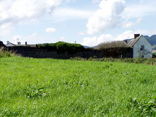 Templemore Abbeyfarmyard complex · 866 yd
 CastleCastle, unclassified · 970 yd
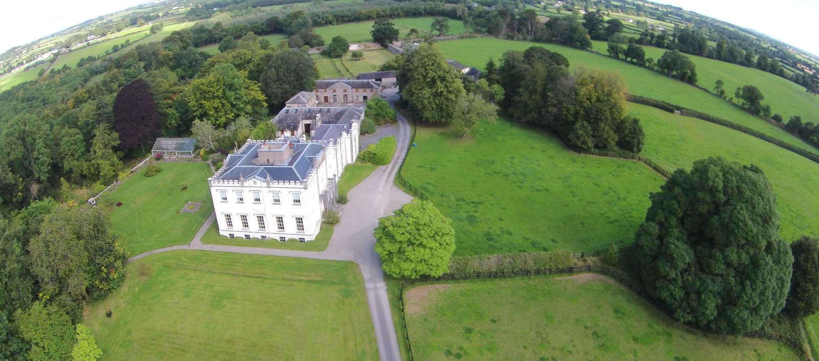 Enclosure in BallyheenEnclosure · 1363 yd
 Enclosure in ForestEnclosure · 1703 yd
 Castle (in Ruins)Bawn · 1711 yd
 College HillMountain / peak · 2.7 mi
 Devil's Bit MountainMountain / peak · 2.9 mi
 Kilvilcorris BogForest · 3.1 mi
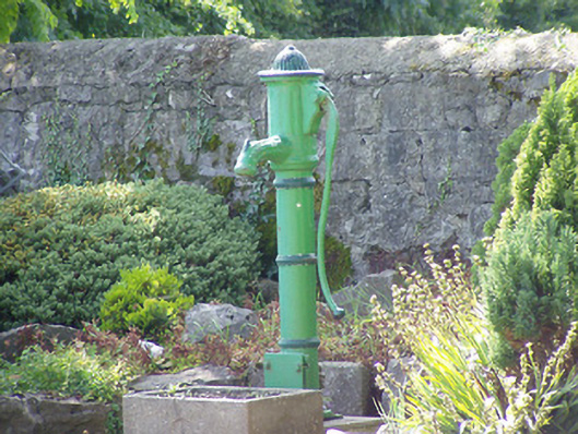 water pumpwater pump · 1411 yd
 Abbey Lodgegate lodge · 1532 yd
Other information
Photo: Credit not shown in the picture search · Rights wording not checked; contact us if this picture should be removed