What is recorded here
No surface remains of any archaeological feature visible, site identified from GSI aerial Photographs(S. 91/2) taken in 1973.
From the National Monuments Service (Archaeological Survey of Ireland) record TN029-064
The monument record does not grant public access. Check the route and ask the landowner before entering private land.
- What survives
- Recorded monument
Places near here
Photo credits
- National Inventory of Architectural Heritage
- Ridiculopathy, Wikimedia Commons · CC0
- Rigger30, Wikimedia Commons · Public domain
- Paddy Ryan, Wikimedia Commons · CC BY-SA 4.0
- PerseidsGirl, Wikimedia Commons · CC BY-SA 3.0
- Wanfried-Dublin, Wikimedia Commons · CC BY-SA 4.0
- Dylan Moore, Geograph · CC BY-SA 2.0
 Whitefield MillMill (water) · 952 yd
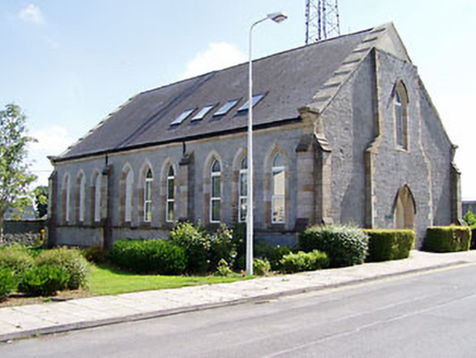 McCan BarracksChurch/chapel · 1209 yd
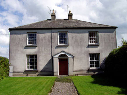 Wellington LodgeHouse · 1213 yd
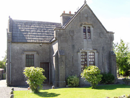 Templemore AbbeyGate lodge · 1242 yd
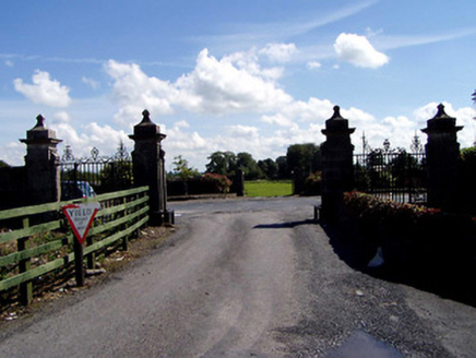 Templemore AbbeyDemesne walls/gates/railings · 1244 yd
 McCan BarracksBarracks · 1249 yd
 The White HouseHouse · 1326 yd
 Loughmoe CourtHouse, fortified house · 2.1 mi
 Devil's Bit MountainMountain / peak · 3.8 mi
 CastleCastle, tower house · 4.4 mi
.jpg/250px-KnockcurraghbolanCommons-TN39-009_(4).jpg "Photo: Wanfried-Dublin, Wikimedia Commons · CC BY-SA 4.0") Wedge tomb in Knockcurraghbola CommonsWedge tomb · 11 mi
Wedge tomb in Knockcurraghbola CommonsWedge tomb · 11 mi BorrisokaneHistoric town · 19 mi
More archaeology and monuments in County Tipperary · All of County Tipperary
What do you know about this place?