
What is recorded here
Situated on high ground in a mountainous area overlooking a nearby church and graveyard (TN028-053----) to the SE. Described in the Civil Survey (1654-6 as) 'a castle inhabited yet wanting repair' (Simington 1931, vol. 1, 24). The land at Barnane was divided between several landowners including 'Sr. John Morres of Knockagh Kt[,]Nicholas Morres of Ballymcrier[,]Wm McEdmond Magher[,]Donogh oge Magher[,]Phillipp Magher[,]Edmond Magher all of Barnane Gent.[,]Theobald Butler of Killoskehane & Wm.McShane Magher of Barnane Irish Papists' (ibid.). Bence-Jones (1988, 32) described a keep-like tower at one end of nineteenth-century castellated house. These have been completely demolished and slatted sheds are now located where the house existed.
The above description is derived from 'The Archaeological Inventory of County Tipperary. Vol. 1 - North Tipperary' compiled by Jean Farrelly and Caimin O'Brien (Dublin: Stationery Office, 2002). In certain instances the entries have been revised and updated in the light of recent research.
Date of upload/revision: 22 September 2008
A local castle; wider significance not recorded.
The monument record does not grant public access. Check the route and ask the landowner before entering private land.
- What survives
- Recorded monument
Places near here
 Barnane Housewalled garden · 228 yd
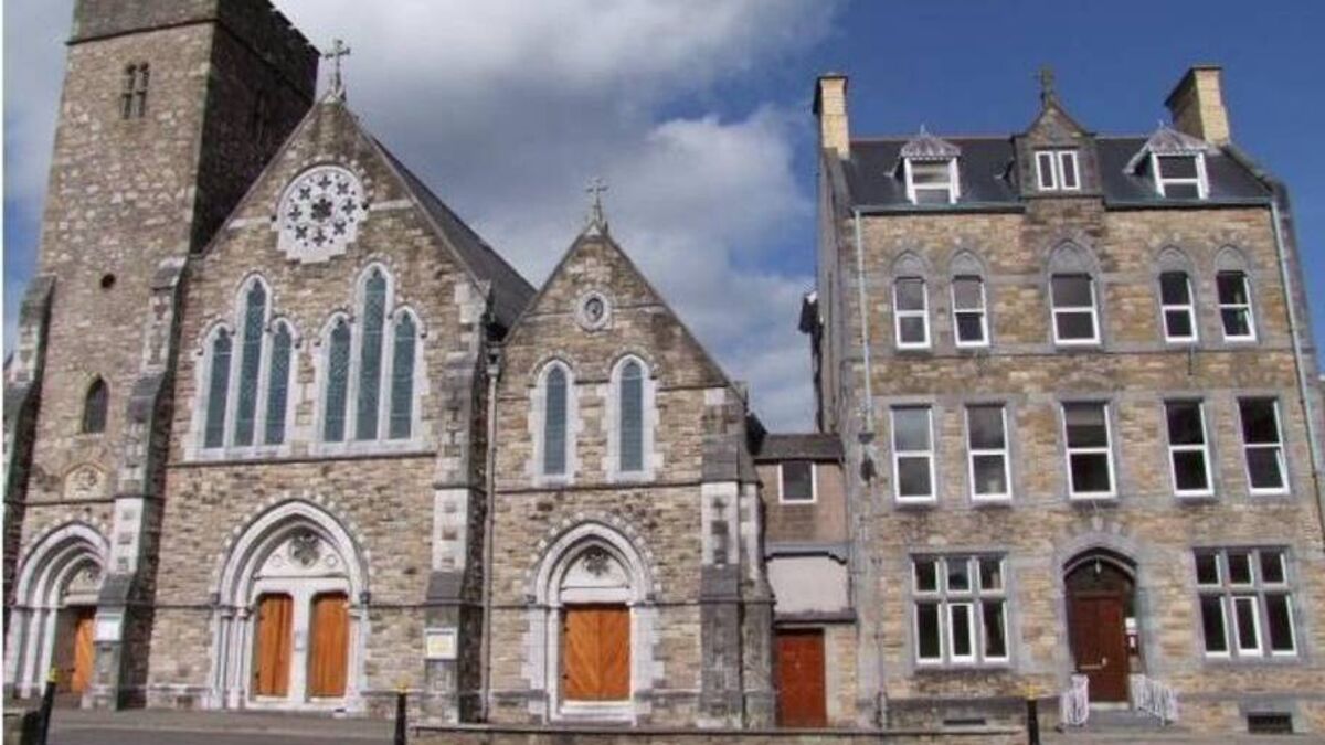 Church (in ruins)Church · 656 yd
 IndicatedEnclosure · 1668 yd
 Fairy HillArchaeological place · 1.1 mi
 Devil's Bit MountainMountain / peak · 1.7 mi
 CastleCastle, unclassified · 1.7 mi
 GortagarryMountain / peak · 1.9 mi
 Castle (in ruins)Castle, tower house · 2.2 mi
 Morris's GroveForest · 2.4 mi
 Kilvilcorris BogForest · 2.8 mi
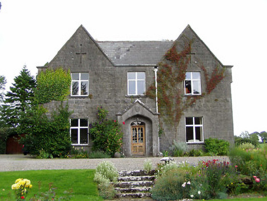 steward's housesteward's house · 967 yd
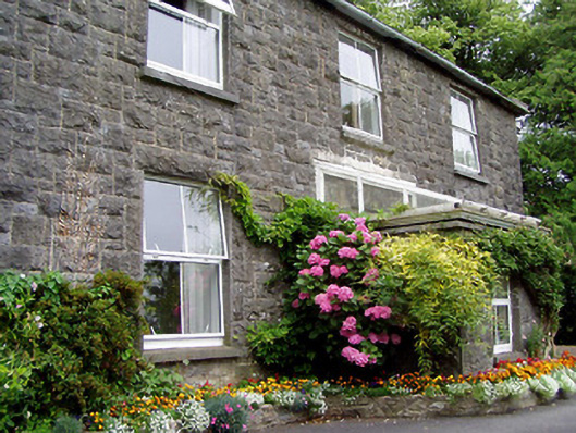 Kilfithmone Rectoryrectory/glebe/vicarage/curate's house · 974 yd
Other information
Photo: Credit not shown in the picture search · Rights wording not checked; contact us if this picture should be removed