
What is recorded here
Situated just off the summit of a low hillock in undulating countryside with a nearby rectangular enclosure (TN029-066) to the NW. A roughly circular area (diam. 29m approx.) enclosed by a poorly preserved earth and stone bank (Wth 1.7m; int. H 0.4m) with no evidence of an entrance feature or outer fosse. The interior was heavily overgrown making detailed examination impossible.
The above description is derived from 'The Archaeological Inventory of County Tipperary. Vol. 1 - North Tipperary' compiled by Jean Farrelly and Caimin O'Brien (Dublin: Stationery Office, 2002). In certain instances the entries have been revised and updated in the light of recent research.
Date of upload/revision: 22 September 2008
The monument record does not grant public access. Check the route and ask the landowner before entering private land.
- What survives
- Recorded monument
Places near here
 Whitefield Millmill (water) · 778 yd
 IndicatedFairy fort / earthen ringfort · 992 yd
 Cloone castle (In ruins)Bawn · 1109 yd
 Enclosure in WhitefieldEnclosure · 1170 yd
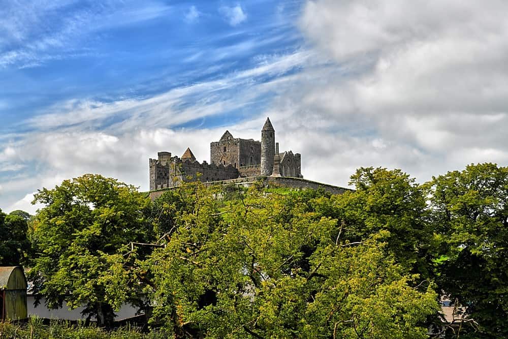 Chapel in KilnaseerChapel · 1340 yd
 Loughmoe CourtHouse, fortified house · 1.4 mi
 Morris's GroveForest · 1.5 mi
 Kilvilcorris BogForest · 3.4 mi
 College HillMountain / peak · 3.7 mi
 Devil's Bit MountainMountain / peak · 4.8 mi
 Cormackstown Heritage CentreMuseum · 7.9 mi
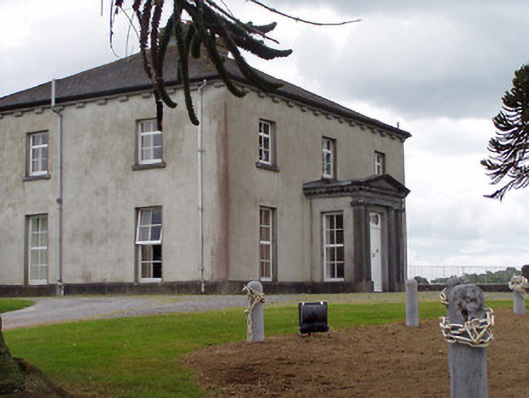 Woodville Housecountry house · 1409 yd
Other information
Photo: Credit not shown in the picture search · Rights wording not checked; contact us if this picture should be removed