What is recorded here
In the S end of a field of pasture 40m E of the townland boundary with Longstone. Not depicted on the OS maps. Identified by Bruff aerial photographic survey in 1986 (Bruff 52; AP 4/3684) as a sub-circular shaped hollow (approx. dims. 17m N-S; 25m E-W) visible on Google Earth orthoimage dated 25/05/2017. Could be the remains of a post-1700 quarry feature.
Compiled by: Martin Fitzpatrick
Date of upload: 21 July 2020
The monument record does not grant public access. Check the route and ask the landowner before entering private land.
- What survives
- Recorded monument
Places near here
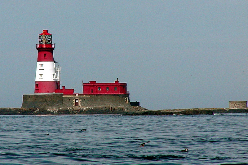 Enclosure in LongstoneEnclosure · 177 yd
 Longstone Househouse · 400 yd
 Burial mound in LongstoneBurial mound · 448 yd
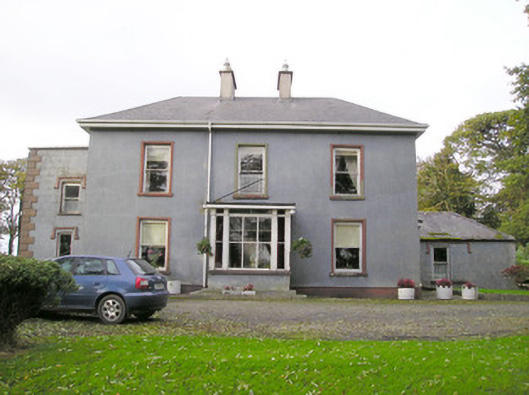 Cloverfield Housecountry house · 1100 yd
 CastleCastle, unclassified · 1.3 mi
 KnockseefinMountain / peak · 1.7 mi
 Ballyvorneen Ho.Castle, tower house · 1.9 mi
 St. Patrick's WellSpring · 2.3 mi
 Kilteely HillMountain / peak · 2.8 mi
 ToberagaddySpring · 3.2 mi
 Flat cemetery in Knockainy WestFlat cemetery · 6.4 mi
 Ballinvreena LoopVisitor information · 12 mi