
What is recorded here
From the National Monuments Service (Archaeological Survey of Ireland) record TN047-037
Places near here
Photo credits
- Maker not stated on source page, en.wikipedia.org
- Maker not stated on source page, www.tripadvisor.in
- National Inventory of Architectural Heritage
- A.-K. D., Wikimedia Commons · CC BY-SA 4.0
- Maker not stated on source page, ru.pinterest.com
- Maker not stated on source page, www.pinterest.com
 Earthwork in CloghmartinEarthwork · 1.0 mi
Explorer Tom Earthwork in Cloghmartin was designed by a very controlling mother-in-law. She wanted perfect ovals and zero entrances…
 Church (in ruins), GraveyardGraveyard · 1.3 mi
Explorer Tom Church Graveyard in Moycarky is where a local claims to have invented the concept of being buried next to a church…
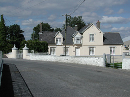 Moycarky CottageHouse · 1.3 mi
Explorer Tom Moycarky Cottage in Moycarky is built in phases, which means it has more secrets than a politician with a short memory.…
 Graigue Castle (in Ruins)House, indeterminate date · 1.3 mi
Explorer Tom Graigue Castle is an L-plan mess that incorporates walls from a bawn, which sounds like a very confused architectural…
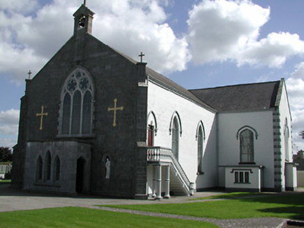 Saint Peter's Catholic ChurchChurch/chapel · 1.3 mi
Explorer Tom Saint Peter's Catholic Church in Moycarky has a name that really means 'The Place Where Peter Forgot His Keys' if we’re…
 Moycarky CastleCastle, tower house · 1.4 mi
Explorer Tom Moycarky Castle has strong opinions about the road leading to it and thinks it needs more potholes for character and…
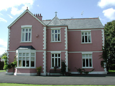 presbytery/parochial/curate's house1.4 mi
Explorer Tom Presbytery in Butlersfarm has a bishop who refused to visit because he thought the courtyard was too attractive for his…
 St. Peter's New CemeteryCemetery · 1.4 mi
Explorer Tom St. Peter's New Cemetery claims a fiddler played here all night until dawn broke his heart. The music supposedly still…
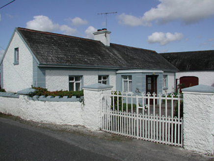 farmyard complex1.6 mi
Explorer Tom Farmyard complex in Galbertstown Lower is named after a guy who probably stole the name from a goat. It’s a square yard…
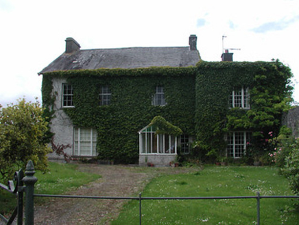 Archerstown HouseCountry house · 1.7 mi
Explorer Tom Archerstown House in Archerstown has windows that couldn't agree on a direction, which is honestly very modern for a…
 CastleCastle, tower house · 1.7 mi
Explorer Tom The Castle at Archerstown is a tower house that lost its way and ended up as a window frame for a modern farm. Its…
 Castle (in ruins)House, fortified house · 2.0 mi
Explorer Tom Castle in Galbertstown Lower is basically a stone house that gave up on repairs ages ago and just went to sleep. The…
More archaeology and monuments in County Tipperary · All of County Tipperary

What do you know about this place?Tap to add a comment or ask a question