
What is recorded here
From the National Monuments Service (Archaeological Survey of Ireland) record MO008-029
Places near here
Photo credits
- National Inventory of Architectural Heritage
- Maker not stated on source page, www.pinterest.com
- Maker not stated on source page, www.neverstoptraveling.com
- Maker not stated on source page, curiousireland.ie
- Maker not stated on source page, monumentalireland.ie
- Roslea Shamrocks GFC official website; photographer not named, rosleashamrocks.com
- Maker not stated on source page, en.wikipedia.org
- Maker not stated on source page, ca.pinterest.com
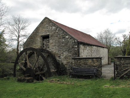 Drummans MillMill (water) · 1037 yd
Explorer Tom Drummans Mill has a fierce feud with the rain because it keeps trying to get in and mess up the grinding stones. It…
 Fairy fort / earthen ringfort in FormoyleFairy fort / earthen ringfort · 1.2 mi
Explorer Tom Formoyle’s fairy fort claims to have been invented by local lad Seamus who just dug a hole one Tuesday afternoon. He…
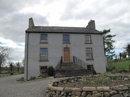 Kilcorran HouseHouse · 1.3 mi
Explorer Tom Kilcorran House in Kilcorran is showing off its piano nobile floor like it’s still expecting guests to arrive for a…
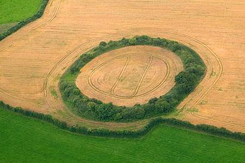 Fairy fort / earthen ringfort in DrumslavogFairy fort / earthen ringfort · 1.5 mi
Explorer Tom Fairy fort / earthen ringfort in Drumslavog was built on a bargain with a local farmer who owed a debt. The scarp is…
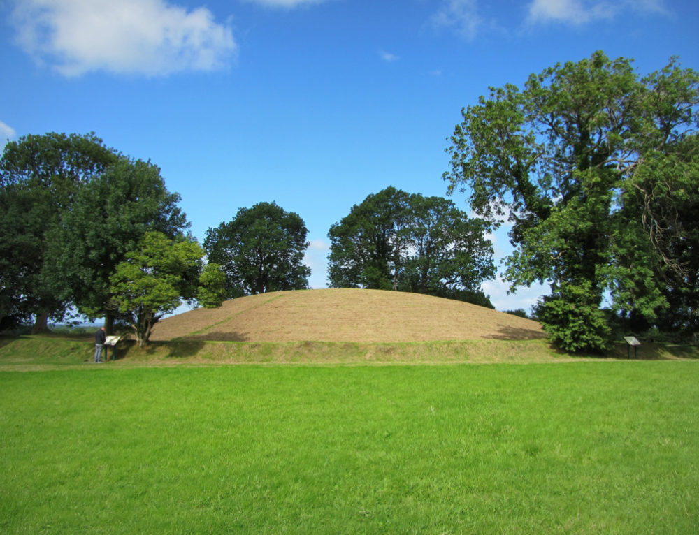 Fairy fort / earthen ringfort in Gola EnglishFairy fort / earthen ringfort · 1.8 mi
Explorer Tom Fairy fort / earthen ringfort in Gola English is stuck in a feud over who owns the best view of the valley. Two…
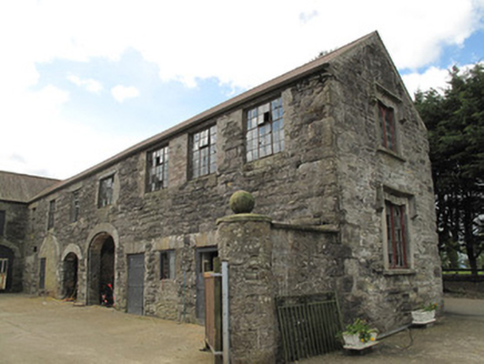 Clonamully HouseFarmyard complex · 1.8 mi
Explorer Tom Clonamully House in Clonamully ended up in the wrong place because someone mistook a robin carving for a compass…
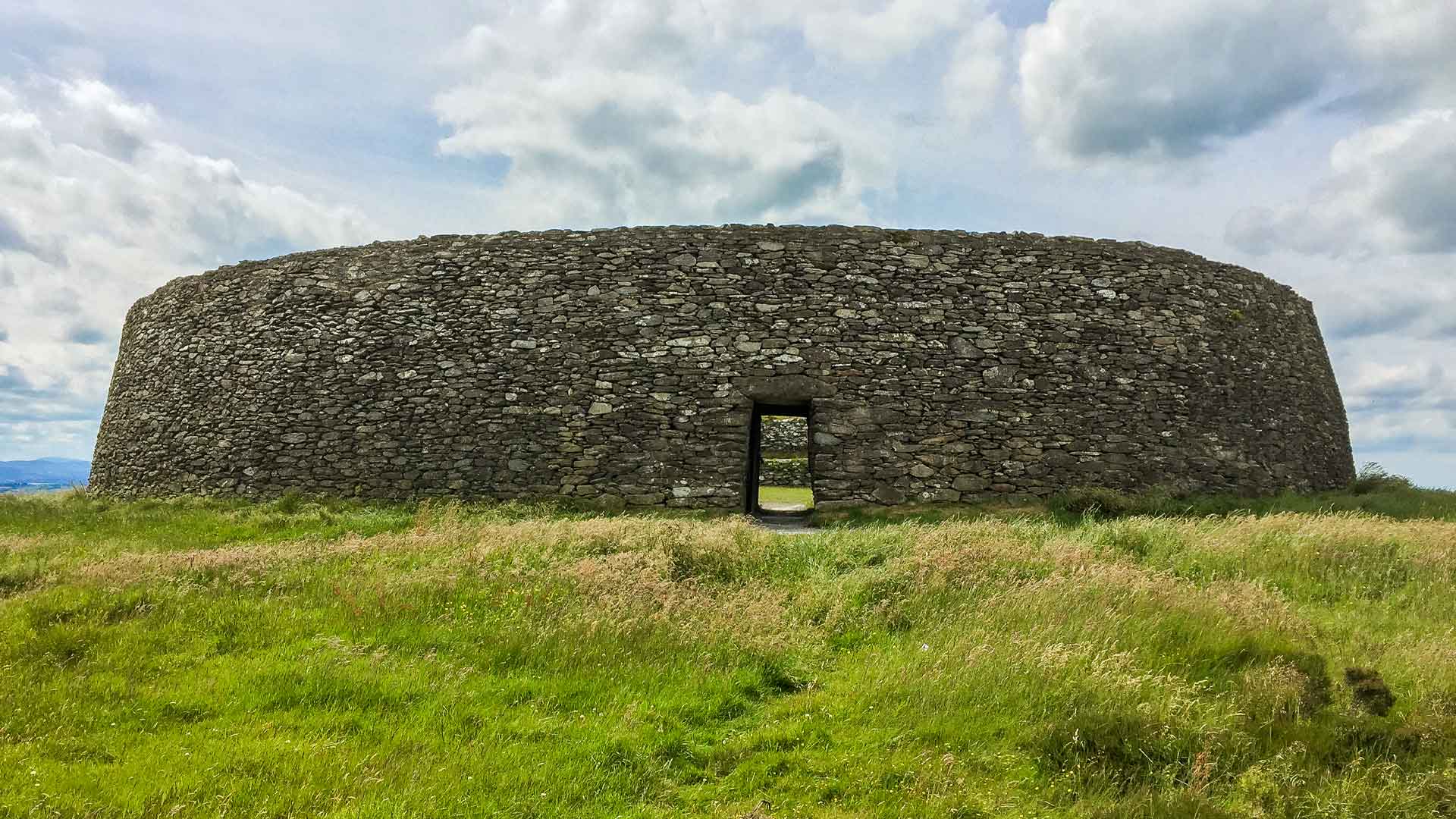 Fairy fort / earthen ringfort in Annahagh SouthFairy fort / earthen ringfort · 1.8 mi
Explorer Tom Fairy fort / earthen ringfort in Annahagh South is currently having a massive dispute with the fairies over who gets to…
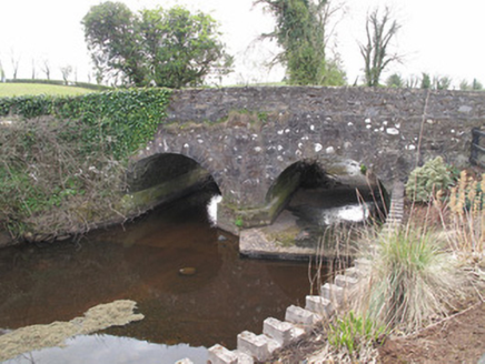 bridge2.0 mi
Explorer Tom Bridge in Gola English has original round profile arches that point to its early construction date, looking…
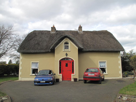 Corrinshigo CottageHouse · 2.0 mi
Explorer Tom Corrinshigo Cottage is rocking a thatched roof in a county where most houses are pretending to be modern apartments.…
 Shamrock Park, Roslea ShamrocksGAA ground · 2.2 mi
 Mapped graveyardGraveyard · 2.3 mi
Explorer Tom "Mapped graveyard is famous for the poet who fell in the ditch nearby while reciting his work and landed face-first in…
 CastleCastle, unclassified · 5.0 mi
Explorer Tom Castle in Conaghy is basically a rumor with good posture, thanks to local tradition claiming Mahon’s castle was once on…
More archaeology and monuments in County Monaghan · All of County Monaghan

What do you know about this place?Tap to add a comment or ask a question