What is recorded here
On the S side of a road overlooking Kenmare River to the N. One-storey structure built of random ashlar sandstone with ashlar limestone detail. NW elevation of six bays; rectangular window opes with recent windows. Hipped roof. Central chimney with stepped stone cornice. Side elevations of two bays. SE elevation has a central lean-to projection of six bays, not all of which are likely to be original, flanked on either side by a single bay in the main structure; door ope in each side wall of projection. Named "Dawros National School" on 1846 OS 6-inch map and this appellation is also inscribed on a plaque in the NW wall.
Compiled by: Elizabeth Byrne, Ursula Egan and Sheila Ronan, Archaeological Survey Unit, University College, Cork.
Date of upload: 30 May 2011
The monument record does not grant public access. Check the route and ask the landowner before entering private land.
- What survives
- Recorded monument
Places near here
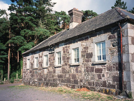 Dawros National Schoolschool · 8 yd
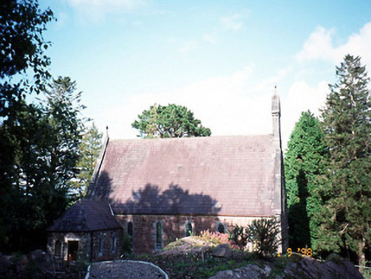 Dawros Catholic Churchchurch/chapel · 151 yd
 Font (present location) in DawrosFont (present location) · 166 yd
 Dunkerron Island WestIslet · 1583 yd
 Dunkerron Island EastIslet · 1603 yd
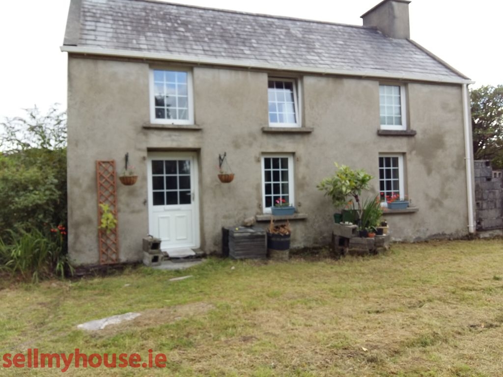 Enclosure in Killaha EastEnclosure · 1.0 mi
 Dunkerron CastleCastle · 1.8 mi
 Killaha MountainMountain / peak · 1.9 mi
 Feorus EastMountain / peak · 2.1 mi
 Mucksna Nature ReserveNature reserve · 2.2 mi
 Coss StrandBeach / strand · 2.2 mi
 Cappanacush Castle (ruins)Castle · 2.7 mi